Posts Tagged ‘Sierras’

Tuesday, July 13, 2010 Sonora Pass Miles Today: 18.8 Total: 1023.4

Tuesday, July 13th, 2010

july13_2trailsteep

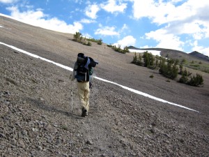
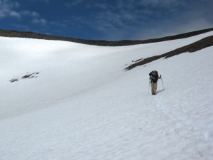
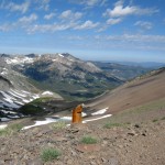
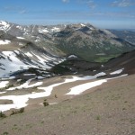
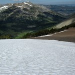
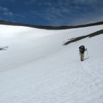
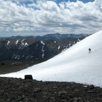
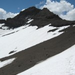
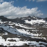
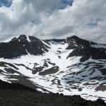
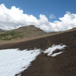
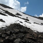
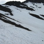
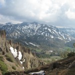
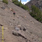
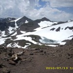
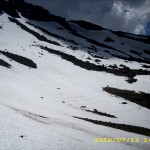
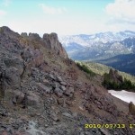
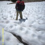
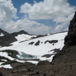
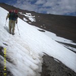
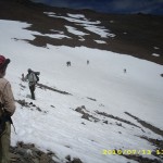
Well, I guess you could say today was “snow day”–lots and lots of it, including plenty of  traverses across STEEP snow on mountainsides!  But yahoo!   We made it up and over Sonora Pass, our last big pass.

Last night the mossies stayed up all night, humming around our net tent.  When I had to get up and go to “the bathroom” at 4:45 am,  they swarmed me and I got lots of bites.  Grrrr!  When it was time to pack up this morning, we had to wear full raingear plus headnets to protect ourselves from the mossie squadrons.   Well, we did expect this, having heard from other thruhiker journals that this is typical Sierras-in-July.

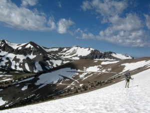
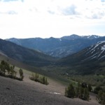
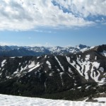
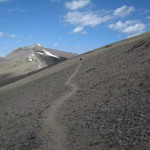
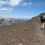
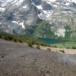
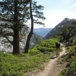
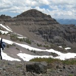
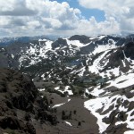
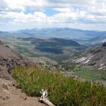
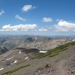
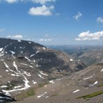
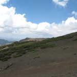
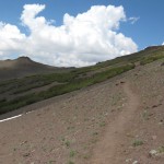
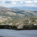
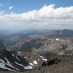
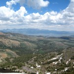
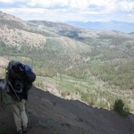
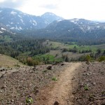
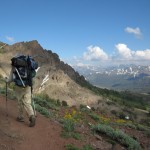
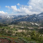
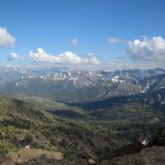
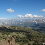
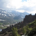
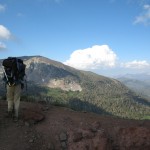
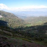
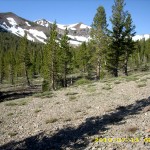
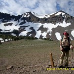
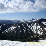
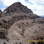
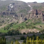
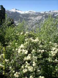
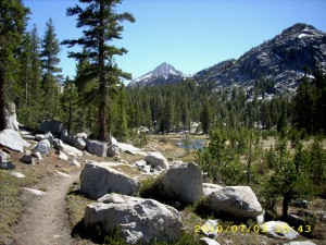
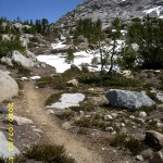
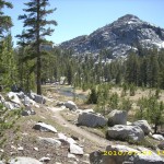
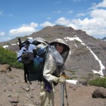
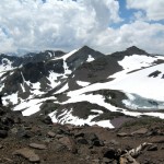
The hiking today began with a nice walk through the forest, then the climbing began.  The higher we went, the more the terrain opened up, and the views were increasingly gorgeous.  Not only that, but once we were up above timberline and out in the breeze–no more mosquitoes!  We began to meet other hikers, and began another day of leapfrogging with Barak and Uri, two guys from Israel. It took a bit of hunting for trail in the snow going up, but there were no steep traverses.  Everything on this side of Sonora Pass is very rounded and sort of mellow.  We took the “shortcut trail” , though, which goes straight up, and OK, that was steep, and I had the ice axe out again.  As usual, Bill just headed right up, and I was slow.  But wow, the views from the top were stupendous! Sierra peaks, all snowy, dominated the horizon to the south, and the dramatic volcanics of the Sonora Pass area were everywhere else.  Many hikers say (and I am inclined to agree) that Sonora Pass is the “best” of all the High Sierra passes.

july13_4snowmnt

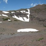
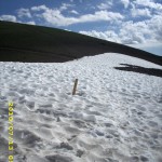
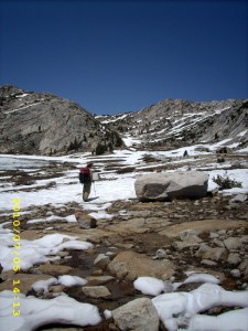
But large snowfields were everywhere (in fact, we walked by the place where we camped in 2005, and it was covered with snow).  All the trail signs were buried.  As we started down the far side of the pass, we caught up with Uri and Barak, who were worried and frustrated.  They desperately wanted to take pictures of the spectacular scenery, but weren’t sure if their camera was working.  It seems that on the last big creek crossing (where even Bill had trouble with the current),  Uri was knocked down by the river and though he managed to swim ashore, his camera got soaked.  Mostly he and Barak were worried about the camera memory card, because it had ALL their pics starting all the way back in Campo!  So we did a test.  They took the memory card out of Uri’s camera and we put it in ours and checked to see if it was working.  Hallelujah!   It worked! Uri and Barak practically did a victory dance right there on the trail.  They were able to take pics of Sonora Pass, and everything was OK. 

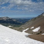
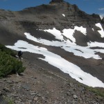
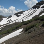
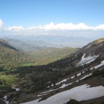
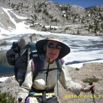
Leaving a very happy Israeli duo, Bill and I headed on into the snow.  We immediately saw that  the PCT is routed (of course) to go on the shadiest, snowiest slopes. So much of today was snow traversing on (thank God!) nice snow, perfect for walking.  We met lots of people–a bunch of SOBO’s, who had skipped up to Ashland and headed south from there, to give the Sierras more time to melt.  It was fun to see them all, and an amazing sight to see so many hikers, after days of being “just us.”  Since I am slow on snow, a number of other hikers finally caught up with us–Dude & Trouble, and Granite & Terrapin.

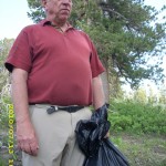
We ate lunch hunkered down behind some stunted trees, and  that was our last meal of the day, because we both agreed that we did not want to stop and camp till we were “below snow and above mosquitoes”, as Bill put it.  By 3:15pm, we reached the road at Sonora Pass, and there was Thomas, a trail angel with carrots, water, snacks, offer of a ride to town, AND a big black plastic garbage bag. “Give me your garbage!” he said, and we were very glad to hand it over!

july13_20snowlost

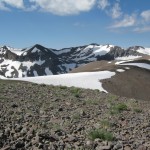
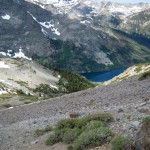
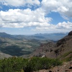
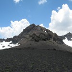
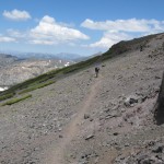
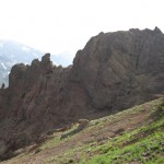
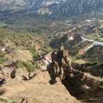
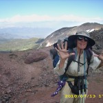
Many hikers go off the trail here and into town, but we pushed on, headed up our last climb of the day.  The snow was not bad, since it was on the south side of the mountain, and the views were great!  So were the wildflowers–blooming in every crack and cranny.  The rocks are no longer “granitic” but “volcanic”, so we knew we were making progress north!  We climbed past the dramatic “Pinnacles”, then a little while later and we were at the top, cheering because it was our last time at 10,000 feet!   While we were standing around taking pictures and cheering, some other hikers came along and asked why we were celebrating so much.  We explained that this was the last time the PCT goes up to 10,000 feet.  “Oh!” they said, and out came the camera phone.  “Tell us about it–we’ll film you!”  So we did a rerun of cheering and celebrating–“Last time at 10,000! (wave all 10 fingers)  Last time at 10,000!”

But from that point, the PCT route down to the Carson River stayed on the NORTH side of the valley.  The south side was snowfree, but we were back to hunting for trail in the snow (slow and frustrating!) until we finally stopped at about 7:30.  We had succeeded in getting below the snow, and there were only a few mosquitoes.  We were very tired and a bit hungry, since we skipped eating supper in order to reach the “no snow zone”.  It was very cold, so we set up the tarp and enjoyed a beautiful alpenglow sunset view after we were snuggled into our sleeping bags.  All the other hikers have passed us, since I am so slow on snow.  But if we can just get back to “regular trail”, I think we will catch up again!  And I am very grateful that the snow at least was nice to us today–no icy stuff and no postholing!

Walk to Rauros:  North of the Field of Celebrant in the Brown Lands

july13_1trailwidejuly13_3viewjuly13_5snowmntjuly13_6snowfieldjuly13_7snowypeaksjuly13_8viewsnowjuly13_9viewsnowjuly13_10dunejuly13_11distantlakejuly13_12snowfieldjuly13_13widetrailjuly13_14distantlakejuly11_15trailnewzealandjuly13_15rockytrailjuly13_16rockysnowjuly13_17snowfieldjuly13_18caradhrasjuly13_19openviewjuly13_20snowlostjuly13_21vistajuly13_22rockyvistajuly13_23bigsnowfieldjuly13_24mountainsjuly13_25rockytrailjuly13_26mountainssnowjuly13_27snowcloudsjuly13_28mountainsjuly13_29snowyjuly13_30snowviewdownjuly13_31bigviewjuly13_32rockyviewjuly13_33viewvalleyjuly13_34montytrailjuly13_35mountainsjuly13_37yesmountainsjuly13_38dunewithsnowjuly13_39mountainsteepjuly13_40valleyviewjuly13_42valleyjuly13_43valleylakejuly13_44mntcloudsjuly13_45mntclouds2july13_46steepmntjuly13_47widetrailjuly13_48snowfieldjuly13_49mountainjuly13_50trailcloudsjuly13_51valleyvistajuly13_52bigvalleyjuly13_53bigvalleyjuly13_54moresnowjuly13_55snowprintjuly13_56snowfieldjuly13_57snowprintjuly13_58snowjuly13_59walkingtrailjuly13_60valleyviewjuly13_61mountaincrestjuly13_62_valleyjuly13_62valleytreesjuly13_63valleytreesjuly13_64hilljuly13_65trailjuly13_66trailforestjuly13_67viewstormyjuly13_68viewhillsjuly13_69snowjuly13_70snowcloudsjuly13_71trailrockyjuly13_72trailhikejuly13_73vistajuly13_74vistamntjuly13_75viewjuly13_76ruggedjuly13_77tarzantrailjuly13_78ruggedrockyjuly13_79vistajuly13_80viewbigjuly13_81viewhikerjuly13_82vistajuly13_83viewvalleyjuly13_84printssnowjuly13_85vistarocksjuly13_86viewjuly13_1viewjuly13_2mountainbilljuly13_3vistasnowmountjuly13_4snowfieldjuly13_5crosssnowjuly13_6snowymntjuly13_7redrocksjuly13_8rockyfieldjuly13_9snowtrailjuly13_10snowtrailjuly13_11snowjuly13_12rockyjuly13_13rockyvistajuly13_14snowmountjuly13_15snowfieldjuly13_16manjuly13_17viewhillsjuly13_18rockgardenjuly13_19vistajuly13_20montyvistajuly13_21rockyvista

Tuesday, July 6 Red’s Meadow Miles today: 18.2 Total: 906.6

Tuesday, July 6th, 2010

6july2lakeglassy

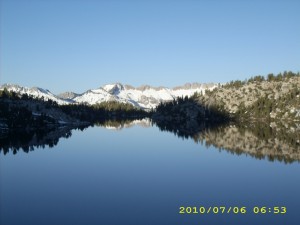
We were up long before the others and walked along Cascade Creek to  beautiful, green Tully Hole. Then it was a long grind of switchbacks and climbing up to Lake Virginia, where we were overjoyed to find an icefree lake and not-too-bad snow.  However (of course!) since the snow was melting nicely,  it meant that the whole area around the lake, including the PCT, was basically a bog.  Muddy, muddy!

We continued slogging on toward  Purple Lake.  The snow was enough to give us problems occasionally, but it wasn’t too bad.  A looong contour around a mountainside took us to a very scary (Slippery rocks!  Big dropoff just below the trail crossing!) ford of Duck Lake’s outlet creek.  I tried to do it and backed out.  “I’m going farther upstream,” I told Bill.  So while he crossed at the official ford, I walked a little way up and crossed there with no problem.  Just beyond that creek was a very pretty meadow with people and horses lounging around, as well as a very unhappy dog, who kept randomly barking and whining.  I’m not sure what his problem was.

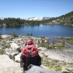
The trail then spends many miles contouring through forests near the edge of a dramatic deep canyon with snowclad peaks beyond.  Every time there was a break in the trees, the views were awesome.  We met no other hikers till afternoon, and then there were lots of them.  First was a lost JMT’er (we set him straight and he was very grateful!), then a gang of newbie JMT’ers  (we wondered how they were going to handle the challenges ahead of them) and then, to our great amazement and delight, sitting by the trail was Scott “Buck Larceny”, a fellow thruhiker from the PCT in 2005!  He was doing the JMT with his girlfriend “Tango”.  We had a very joyful reunion, and took pictures of each other before heading our separate ways.
6july16horses

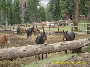
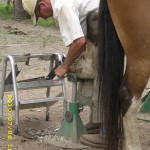
Bill had been figuring we wouldn’t reach Red’s Meadow till late in the day, but before we knew it, we were down into the “burn zone” and Red’s Meadow.  As we turned off the PCT, we could hear the sound of a farrier’s hammer at the corral, and sure enough, he was busy shoeing a horse.  I stopped to watch for a few minutes, but the lure of burgers and milkshakes at the cafe was very strong, so off we went again. 

Fortified with HUGE burgers, we strolled down to the campground and claimed one of the campsites near the famous hotsprings showers.  I wanted a shower, but my only “towel” is a small 9″ square piece of absorbent cloth.  It was late afternoon by now, and getting chilly.  If I’d had a nice big towel, I would have taken a shower, dried off immediately, and been fine.  But my tiny towel wasn’t up to it, and I didn’t want to get cold.  So Bill did take a shower, but I stayed at camp and welcomed other hikers to join us.  We ended up sharing with Michelle (who sewed her own tent–very nice!),”Just Paul” and Eric, and one other couple.  

We all put up our tents & tarps, since it was clouding over and dripping a bit, but sat around swapping stories and talking till 8:30 pm.  We also slapped at mosquitoes a bit–they were definitely a presence!  Tomorrow we’ll take the bus to our resupply in Mammoth!

Walk to Lórien: Arrive at the hill of Cerin Amroth

6july1greenhills6july3lake6july4rocks6july5cross6july6creekgreen6july8boots6july9bridge6july10trail6july11treegreen6july12hiker6july13greenstumps6july14trailsign6july17horse6july18building

Monday, July 5 Miles today: 11.2 Total: 888.4

Monday, July 5th, 2010

5july3bylake

Tent 4 was full last night (mostly JMT people) but cleared out fast as soon as the cafe opened. Bill and I were more leisurely because we had fresh fruit, and all I had to do was drop by the store to get coffee and some danishes.   So this morning we sat outside and enjoyed the beautiful morning (and fielded a lot of questions from other hikers about “Where’d you get the fruit?”  I didn’t tell them my source–I didn’t want the poor clerk to be inundated with fruit-starved thruhikers.)  I’m glad I can eat, and the Flagl seems to be working already.

5july5waterfall

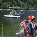
We both rode the ferry back across the lake saying “Back to the trail!” The ferry was at MAX capacity–the captain actually had to shuffle us all and our packs around to “balance the load.”  This time there was  a whole gang of us PCT NOBOs, all headed for Silver Pass. But at the ferry landing,  there was a very serious ranger, who stopped us as we got off the boat, and we all had to produce our permits. Grr!

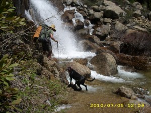
Going up to Silver Pass involved two “very bad” fords, including the famous “waterfall”  crossing.  I did do the “get behind Bill” technique for that one, but it  turned out to be not as bad as I expected.  In fact, just after we got across, along came a whole group of JMT southbounders, with a dog.  The brave dog unhesitatingly followed its master as he rockhopped and leaped across the roaring, foaming water at the foot of the waterfall.  Wow!

5july6snowy

We leapfrogged with other PCT NOBO’s all day, which actually did help a bit with  the usual route-finding in snow going up and down the pass. At the top of each pass is a whole new view of a whole new set of snowy peaks, and Silver Pass was no exception. Wow!  Coming down off Silver Pass, I glissaded twice, and on one of the glissades, my purple bandana came off.   By the time I noticed, it was too late to go back.  But no problema!  One of the other thruhikers spotted it,  knew it was mine, and when Bill and I had stopped for a Snickers break, he came by and said, “Lost something?”  Hooray!   My bandana was back!  I’d carried it for the whole PCT in 2005.  That cheered me up–I had been feeling very discouraged again about being slow over snow and rocks.

All of us ended up tonight camped near the bridge over Cascade Creek.  The mosquitoes were around, but we cowboy camped anyway.  We may ??? make it to Red’s Meadow tomorrow if snow does not give us a lot of problems.  Or to be more accurate, does not give ME a lot of problems.  Bill zips right along, snow or no snow.   He wasn’t very happy today about having to wait for me so often.  All I can say is, “I will do my best.”   But it sure would be nice to make Red’s Meadow!!

Walk to Lórien: In woods near the edge of Lothlórien
5july1hikers5july2hikers5july7snowtrail5july8snowcups5july9snowvista5july10hikers5july11greenview

Sunday, July 4 Vermilion Valley Resort Miles today: 4.6 Total: 877.2
Sunday, July 4th, 2010

4july4lakeboat

It was very cold last night, but nice and clear, with lots of stars. I should mention how grateful I am for the glorious weather we’ve had in the Sierras so far. Today was no exception— beautiful! We walked down the famous “53 Switchbacks” and I was just plain enjoying myself.  In 2005 I was all worried about missing the ferry to VVR.  This time I said, “Oh, whatever!  If we miss the ferry I’ll just walk on in.”  Bill was planning to walk into VVR anyway, instead of taking the ferry.  I am feeling much better–in fact, I’m hungry, and thinking about all that great food at VVR!  I guess the GSE is working!  And last night I finally figured out the lower leg rash problem we’ve been having.   Duh–it’s “diaper rash”–the result of having constantly wet pant legs rubbing on the skin.   A day at VVR with dry pants and sunshine should be a big help! 

About halfway down the hill, the PCT goes through a lovely aspen forest.  Many of the whitebarked trees have names and dates carved on them.  Some of  the dates go back a LONG way!  But I didn’t spend too long looking at them, because in that damp greenness, the mosquitoes were pretty bad.  We had to ford two creeks, also–ow!  Our rashy legs are pretty sore!  We reached the bridge over Mono Creek, which was a whitewater roar.  I stood looking at it and thinking, “Tomorrow we have to ford that.  Yikes!”  Since the morning was starting to warm up, I stopped to take off a layer of jacket, and got instantly swarmed by the mossies.  I guess that as long as you keep moving here, you’re OK, but if you stop, they get you!

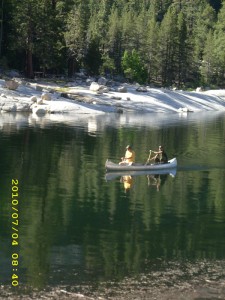
The one & 1/2 mile trail to the ferry seemed longer than it was.  It goes uphill and downhill, and one whole section of it was just plain turned into a swamp.  We had no choice but to slog through the mud.   But finally we reached the ferry turnoff and Bill headed on, following the 4.5 mile trail to VVR.   (He didn’t want to wait 1.5 hours for the ferry). I went to the lakeshore and tried to figure out where the ferry landing was.  Everything looked different from 2005, since the lake level now is much higher.  I saw two fishermen across the way, so I went over to ask them where the ferry came in.

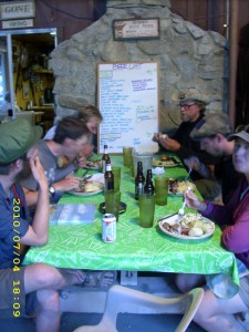
Neither of the guys  knew where the landing was, but one of them looked at me very kindly and asked, “Have you had any breakfast?  Would you like something to eat?”  Wow!  Trail magic!  I guess I looked sort of starving??  It turned out that the guys were basically living on tortillas and meat, so that’s what they gave me–a great big tortilla stuffed with a couple of different kinds of meat. Oh yes!  I thanked them very fervently and went back to where there was a big rock with a lake view,  lay down, using my backpack as a pillow, and slowly ate the wonderful tortilla.  Then I just closed my eyes and rested.  I was so tired!   Little groups of hikers were gathering around me, chatting and talking as they waited for the ferry.  They were all JMT southbounders.  I listened carefully to their discussions of what they’d been through so far, because that’s where Bill and I will be next.  
4july10table

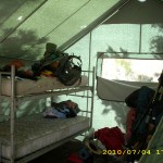
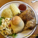
By the time the ferry arrived, there was quite a crowd of JMT’ers, fishermen, and me, the lone PCT hiker.  The VVR dog was also along for the ride.  Apparently he loves going on the ferry, and leaps eagerly aboard whenever the “captain” heads out.   It turned out that  Bill had beat me to VVR.  The first thing we did was to claim two bunks in Tent 4, and leave our packs there.   My appetite is back, and we enjoyed a great breakfast, then chores (showers, laundry, etc).
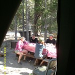
Once Bill and I were clean, we put salve on our very sore legs, and set our wet shoes out in the sun to dry.  So did all the other hikers!  The Tent 4 deck had rows of drying shoes!  There are a couple of picnic tables by the tent, and those tables are like the hiker trash social center.  Hilarious and interesting conversations are the order of the day!   But I was so totally exhausted that I spent every spare minute collapsed on my bunk and listening in on what was said, rather than joining in, as I would have loved to have done.

At around 2 pm,  Bill and I took a “pie break” and each got a huge, delicious slice of pie a la mode from the famous VVR pie menu.  I was feeling a little more rested, so I dived into the hiker barrel to see what I could find, foodwise, to get us to Red’s Meadow.  Bummer–there wasn’t much.  I guess it’s just too early in the season.  So I had to buy some stuff at the store.  I was hoping to find some fruit (even canned would be OK) but no luck, so I asked the clerk, and voila!  More trail magic!  She told me SHE had some fruit, and to come back later and she’d give it to me!  Wow!

 But then, sigh, I was sick again— it seemed like everything I had eaten  just went straight through. I was hungry, though— no nausea. Bother! Just when I thought I was well again. I hated to take any Flagl, because I figured it was more important for Bill to be well.  If we hit nasty stream crossings or snowcovered passes, I really do need his help, and if he were sick because we ran out of Flagl, that would be very bad.  But we counted our Flagls and decided we had enough to share and still make it to Mammoth. I ate the 4th of July BBQ dinner (wonderful!) and we enjoyed the conversation of other hikers.  Ialso reconnected with the kind clerk lady, who gave me canteloupe and grapes!

After that, the other hikers sat up till late around the campfire, laughing and talking and playing guitars,  but we went to bed.  That’s one bummer about being old.  We just don’t have the energy to hike all day and then sit up late.  But it was fun, before I fell asleep, to hear the happy hiker noise!  I am very grateful we’ve made it here safely.  In two days, we’ll be at our resupply in Mammoth!

Walk to Lórien: In meadows near the edge of Lothlórien

4july1treesgreen4july2rockstrees4july3lake4july5lakeboat4july6hikers4july7lakecrossing4july8camping4july9bunks4july11foodplate4july12person

Saturday, July 3 Bear Creek Miles today: 18.2 Total: 872.6

Saturday, July 3rd, 2010

3july3flowers

Bill and I both totally zonked last night and slept like logs. “Amazing!” Bill said. “I didn’t even hear the river roaring!” Our long climb up to Selden Pass was enlivened by what I decided to call a “sage hen convention.” We saw several of them on the trail, and heard them drumming in the woods. Bushes in full bloom were hanging over the trail, and smelled very sweet.  Everything was very wet and muddy, though.

We reached lovely Sally Keyes Lakes, where big fat trout swim within easy reach, and several people were camped.  We were amazed at the trout.  “You could catch them with a net!” I said.  “No need for a pole, hook ‘n bait!” 

3july5logcrossing

Heart Lake (higher up) was frozen over, and we fought our way through snow again, with the trail appearing and disappearing, till we finally reached the top at noon. Getting down was tough— lots of snow and hard to find the way, since the trail stays fairly high up for some time, and there was no reliable trail of footprints.   And I had the added dread of knowing that Bear Creek, one of the most horrendous fords of the High Sierra, was just ahead. But we met a hiker who told us the ranger had put up a rope to help hikers get across.   That gave me a bit of hope, and sure enough, when we reached rushing Bear Creek,  just downstream from the trail crossing, there it was–a nice rope tightly strung across the wide, roaring water, for hikers to hold on to.

Note from Alexa: The great irony of this is that, as you see below, the Walk Middle-earth mileage for this day was using ropes to get across a scary creek crossing in Lórien! Creepy!

3july13rocksmountains

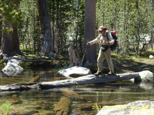
At first Bill said he would just cross with his trek poles, but then he decided to use the rope.  So he went first and I watched.  The water was just below waist deep on him, and obviously, the worst part was on the far side. With my trek poles lashed to the top of my pack, and everything else secured for a nasty crossing, I ventured in.  The water was moving fast, and was waist deep on me.  Using the rope was quite different from using trek poles. With trek poles you are always leaning INTO the current.  With a rope, you need to keep the rope taut so that it can steady you, and that means you are sort of pulling BACK from the current instead of stepping forward and leaning into it.  After all my trek pole crossing practice, this felt sort of counterintuitive, but I managed OK till I got to the far side where I’d noticed even Bill was having difficulty.  It was baaaaaaad!  I yelled for some help, Bill came back into the river to steady me  a bit and I made it. I LOVE ropes!   And I sure am glad Bill is here, too!

 Then we tried to hike on as fast as we could, to be able to reach Vermilion Valley Resort tomorrow. From Bear Creek on, the mosquitoes were just awful–we had to eat our supper under headnets, wearing raingear– and even though we made it almost to the top of Bear Ridge before camping, we still had to rig the net tent. I am feeling better— maybe the GSE is working!  I was actually hungry at suppertime, and could eat with no problems!   VVR, here we come!

Walk to Lórien: Crossing the Silverlode on ropes

3july1trailtrees3july2grass3july4trailgreen3july6lakeview3july8trailrocks3july9montysnow3july10snowrocks3july11signtrees3july12treesmountain3july14rocks