Archive for the ‘CA Sierras – J’ Category

Friday, July 16, 2010 Echo Lake Resort Miles Today: 21.9 Total: 1,096

Friday, July 16th, 2010

july16_3snowfield

The birds started singing really early this morning–it was nice to hear them!  The PCT in the Sierras is up so high most of the time that there really aren’t many birds.  It was great to hear that early morning “choir sing”.  Unfortunately, last night, all night, we were subjected to the “other” choir–mosquito whines.  There were plenty of them, and we’d been too tired to set up the net tent, so I got pretty well chewed up, and didn’t get much sleep.  Oh well–“On to Carson Pass!” we said as we hit the trail this morning, thinking it would be an easy cruise to breakfast at the visitor center.

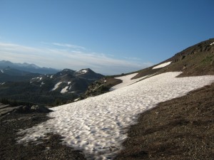
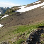
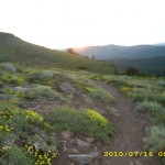
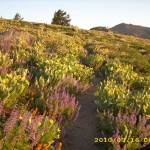
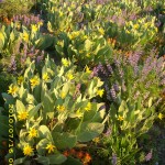
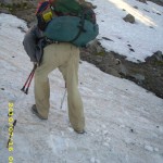
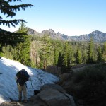
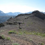
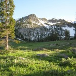
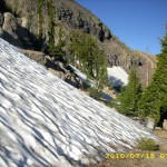
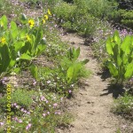
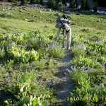
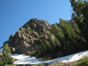
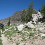
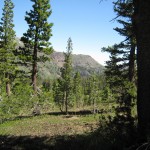
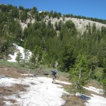
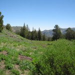
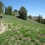
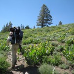
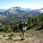
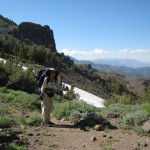
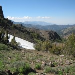
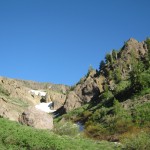
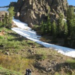
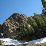
Nope! The trail had other ideas. It had a lot of uphill (puff! pant!) and a number of icy snowfields to cross. Bill chopped steps for me with the ice axe.  I’d been thinking about getting shed of the ice axe at Echo Lake, but seeing so much snow, I started to be concerned about Dick’s Pass up above Tahoe.  “I think I’ll keep the ice axe awhile longer,”  I decided.  Some of the snowfields we encountered this morning were small enough that we could go around them, slipping and sliding on steep scree.  I’d rather slip ‘n slide on scree than on hard, icy snow!  But there was compensation–wildflowers of every color, glowing in the early morning light.  Beautiful!  I tried to take photos of them, but no camera can do justice to such amazing light.

The closer you get to Carson Pass, the better the trail, and the views are wonderful. When we reached the visitor center it was 7:30  am, but the volunteers were already there.  Last time we arrived here, the volunteers practically fell over themselves offering us fresh fruit, etc.  This pair, an older husband & wife, told us that yes, they did have fruit, etc., but we would have to wait till they finished setting up everything at the center.  No problem–we settled down at the picnic table to eat our usual breakfast of granola & freezedried fruit.

Then another set of volunteers arrived.  They took one look at us and said, “PCT thruhikers!!  Howsit going?  Want some fruit?” and before we knew it, the picnic table was laden with peaches, bananas, cherries and sodas.  Yum, yum!  And just then, a bunch of other thruhikers popped out of the woods, so we were all sitting there feasting, and VERY grateful to the Carson Pass volunteers!  Everybody was on a tear to get to Echo Lake.  Trouble & Dude are determined to make it by 2 pm, and all the rest of us are saying, “Oh, whatever!  All we care is that we’ll get there sometime today.”

july16_6mountains

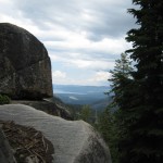
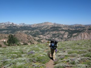
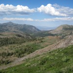
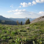
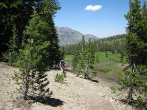
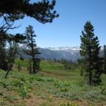
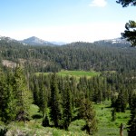
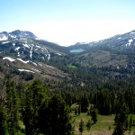
One of the volunteers had mentioned that “When you get to the top of the climb out of here, you’ll get your  first view of Lake Tahoe”.  And yes indeed, there it was–blue, blue Tahoe!  Beautiful! Wildflowers were everywhere, and lots of dayhikers with their very happy dogs.  The trail took us down into what I call “Ponderosa Meadows”, complete with rustic ranch buildings and lots of creek crossings.  One of them was the Truckee River, but I’m not sure which one–there were so many!  There was still snow on all the mountains around us, and when the trail climbed back up again, sure enough, we were dealing with snow once more–nothing very bad, but it did slow me down.  It was a very warm day, and I was glad whenever we got to some shade.  There were big piled-up thunderclouds to the east, and after awhile, we began to hear the sound of thunder, but didn’t see any lightning. 

july16_12rocks

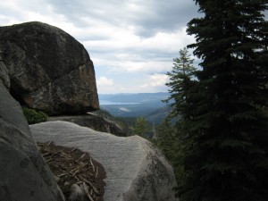
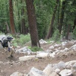
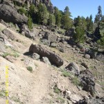
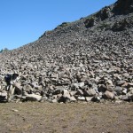
My sore right ankle was feeling much better, which was very encouraging!.  Eventually we began “the big downhill” to Echo Sno-Park. I remembered this from 2005 as horribly rough and rocky– and it still is. For me, that means very slow going. Sigh. But we made it, and did enjoy the views of Lake Tahoe on the way down. Even though the trail is very rocky, it  is very pretty and green.  Finally we were back “on the flat”, walking along near the snow park, and I was just commenting to Bill, “Well, we’re almost to Highway 50, but it’s still a ways to Echo Lake,” when oh no!  I twisted my sore ankle AGAIN on a little rock in the otherwise smooth trail.  It really hurt!  From that point on, I was limping badly and yelping  when the ankle bent even a little bit.  I was really bummed about it.  At the parking lot near the highway, we saw Granite and Terrapin trying to “yogi” a ride from dayhikers.  We told them it was often easier to get a ride down to South Lake Tahoe from Echo Lake Resort, and they said  they might do that if they had no luck at the snow park.  On we went, me limping badly, as the PCT spent quite some time parallelling Highway 50.  Once we’d crossed the highway, it was another 1.5 miles to Echo Lake, and it was obvious that Bill was itching to get there.  So I told him, “Go for it–I’ll get there when I can,” and he soon disappeared into the woods. 

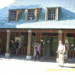
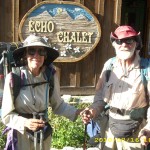
By now it was a very hot afternoon, and I was sweaty, hurting and pretty miserable.  What if the ankle turned out to be serious enough to force me to stop hiking?  Since I was all by myself, I did sniffle a bit and did ask God to please help me be brave and please help the ankle to recover.  By the time I got to Echo Lake, I was more or less a wreck.  I saw Bill–he’d picked up our resupply box–but all I could think was “Cold drinks!”  I mumbled something at Bill about “See you in a minute” and headed straight into the store to buy a pink grapefruit juice and an orange juice.  Then I sort of staggered back outside and collapsed on the picnic bench where a number of hikers were gathered.  I did nothing for awhile but steadily sip the cold juice.  Oh man, did it taste good!!

Finally I felt recovered enough to chat with the other hikers.  Most of them were busy “spiffing” to make themselves presentable enough to hitch rides into town.  All the other hikers are much younger than we are–they were full of vim and vigor, and talking excitedly about the buffets and casinos of South Lake Tahoe.  Bill and I went down there in 2005, and though it was nice to rest in a motel and eat at the buffets, we had agreed it wasn’t worth the bother of getting there and back.  The two Israeli girls, Noga and Shani, hung around for a long time, talking to people.  When they decided to get an ice cream shake, they had a hard time deciding what flavor to choose out of the HUGE menu of possibilities.  They finally went for fresh raspberry, and said it was really good! 

Bill and I got two huge, fantastic sandwiches, and went to sit and eat in the shade at the side of the store.  Leaning on the wall, we ate and discussed what to do next.  The post office was closed, and would not reopen till 11 am tomorrow. We had bear cans to mail home, but Bill did not want to wait around that long. With my very sore ankle, I DID want to wait.  In the end, though, I told Bill I’d talk to the store people and see if there was a way to mail the bear cans today.  It took some doing, but finally I was able to talk to the store manager, who also runs the post office, and she agreed to take the bear cans!  So we loaded the cans with our Microspikes and Yak Trax, and waved them GOODBYE!  Two old ladies were sitting and eating ice cream by the post office window, and I had to explain to them why we were so happy to get rid of those strange black cans!

I made one last try at persuading Bill to camp at Echo Lake (I was thinking about how nice it would be to just camp now and get a good rest before starting early in the morning, but he was very determined to hike on.  So I sat in the shade (it was still hot) sorting food into the food bags.  Then I got one more cold juice drink before we hit the trail again at 6 pm.  I was worried about where on earth we could camp.  There are cabins all along the lake for quite a distance.  But when we started hiking, I was very pleased to discover that my sore ankle felt MUCH better.  I guess the 3+ hours of rest had really helped!  

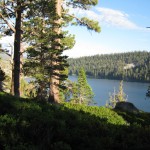
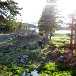
The walk around Echo Lake is so pretty, and it was especially beautiful in the evening light.  We made it almost all the way past the lake before the sun went down, and at that point, we snuck off the trail into a flat place surrounded by bushes, to set up a stealth camp.  We could hear the boats on the lake and the dogs in the cabins barking, but nobody knew where we were, except the mosquitoes!   We set up the net tent so we could sleep in peace.  I was desperately tired, and the thought of another night with mosquitoes chewing on me was just too much.  Hooray for the net tent!  And there was a beautiful sunset.  I lay in my sleeping bag and listened to the voices of evening hikers going by on the trail, and thought about how great it was that tomorrow, I’ll be able to carry a much lighter pack. 

Walk to Rauros:  High wolds of the Brown Lands, Gollum grows more daring

july16_1sunrisejuly16_2snowjuly16_4snowgreenjuly16_5glowviewjuly16_7treesviewjuly16_8distantmntsjuly16_10hillsvalleyjuly16_9vistajuly16_11snowymountainsjuly16_13rocksjuly16_14switchbacksforestjuly16_15lakejuly16_1flowerstrailjuly16_2flowerstrailjuly16_3flowersjuly16_4snowtrailjuly16_5montyjuly16_6meadowviewjuly16_7meadowjuly16_8snowtrailjuly16_9trailjuly16_10buildingjuly16_11billmontysign

Thursday, July 15, 2010 Ebbett’s Pass Miles Today: 27.1 Total: 1074.1

Thursday, July 15th, 2010

july15_6ruggedpeaks

  Bill and I had a really good night’s sleep last night, and commented as we were packing up this morning, “You know, that’s the first campsite we’ve had in quite awhile where we weren’t within sound of rushing water!”  And we hadn’t gone far this morning, when whom should we meet heading SOBO but Wyoming! We had not seen her for weeks. Turns out that she and some friends had flipped up to Ashland and were headed south. It was great to see her!  Wyoming said that as it turned out, they may not have saved themselves much “snow grief”, because the Siskyous, Marbles and Trinities were full of snow AND lots of blowdowns on the trail, which made for awfully tough going.  We were so relieved to see she was OK!

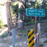
We reached Ebbett’s Pass just as a sweet old guy came driving by.  He stopped his car to talk to us, and we told him about hiking the PCT.  He was fascinated, and wished us well before heading on.   There was a sign beside the trail at the road which said there was a trail angel 300 yards to the west, so we walked up to check it out, hoping for maybe a nice breakfast??   But no luck.  There was no sign of anybody. 

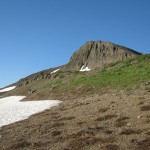
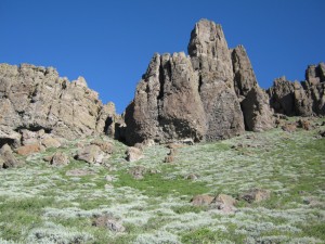
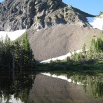
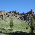
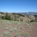
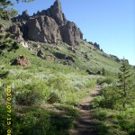
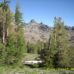
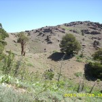
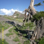
 So we headed back to the PCT and started out on what I call “The Vulcan Geology Walk.” For miles we walked along the base of a row of amazing volcanic pinnacles and domes. We could see the Carson valley in the distance– the wildflowers were awesome.  Eventually the trail turned left and headed right through the volcanics and into a land of what I can only call “pumice hills”, where there were still some snow traverses to do on northfacing hillsides.  We were leapfrogging with Granite and Terrapin most of the day.

july15_16hikertrail

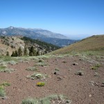
As the morning went on, it became increasingly hot, and we were very glad that the trail sometimes wound through dark groves of huge trees, where the shade was very welcome!  But in the afternoon, the PCT settled into a long uphill winding through big boulders in a forest with no views till finally we were out in the open again, walking through open pumice fields, around a peak called “The Nipple”, with a stiff wind blowing.   My right ankle began to ache very badly from all the rocky trail, so when we stopped for supper in the lee of a single gnarly tree, I took some Motrin to help.

july15_29switchbackslake

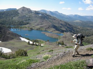
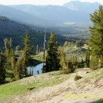
But sore ankle and gusty wind could not take away from the fact that our views of the Blue Lakes down below were awesome. We finally reached the top of the climb, and of course there were more snowfields to cross as we went down, but they weren’t too bad.  Good!  Trying to walk on snow with a sore ankle isn’t fun!  When we were still up fairly high, we met Terrapin filtering water from a creek by the trail.  She said she and Granite had stopped for the day, and that they’d located “marginal” camping in the trees nearby.  She said there was room for us, too, but Bill wanted to keep going and camp lower down.  Despite taking 2 Motrin, my ankle was really bothering me, so I was sort of limping along behind Bill as best I could.   

We kept on going till we found a nice quiet spot in a little grove of trees, with a tolerable mosquito level.  “I think I shall call today ‘Lava Day’, ”  I said.  “We sure have been in the lava!  And the best wildflower display yet, too!”  Actually, this section of the trail after Ebbett’s Pass really is very beautiful and interesting, with its gnarly trees, awesome flowers of every color, lava formations and beautiful lakes.  But I was also thinking, “Echo Lake tomorrow!  No more bear cans!”

Walk to Rauros:  Boromir grows increasingly anxious, Gollum is spotted with a log

july15_1signjuly15_2trailsnowjuly15_3reflectionjuly15_4ruggedpeaksjuly15_5viewjuly15_7viewtreesjuly15_8viewsteepjuly15_9rocksjuly15_10greenmeadowjuly15_11meadowgreenjuly15_12treelinejuly15_13openareajuly15_14opentrailjuly15_15meadowtreesjuly15_17trailbrushjuly15_18viewhillsjuly15_19viewhilljuly15_20straightdownjuly15_21treelinejuly15_22treelinejuly15_23treelinejuly15_24brushviewjuly15_25brushview2july15_26viewvalleyjuly15_27viewhillsjuly15_28hillssteepjuly15_30treesjuly15_31meadowjuly15_32meadowjuly15_33meadowhillsjuly15_1snowjuly15_2viewtrailjuly15_3viewforestjuly15_4trailjuly15_5trailjuly15_6viewhilljuly15_7reddirtviewjuly15_8viewmeadowjuly15_9viewwildernessjuly15_10viewdistantlakesjuly15_11trailtreejuly15_12trailflowersjuly15_13viewdistantlake

Wednesday, July 14, 2010 Miles Today: 23.6 Total: 1,047

Wednesday, July 14th, 2010

july14_5greenhills

No mosquitoes last night! And none till this afternoon! And for a good several hours this morning, the trail just cruised along through gorgeous scenery. It was a total joy to be hiking on such a morning! I was thinking, “Wow! At this rate we might make 27 miles!”

We spent a good while this morning walking along the Carson River canyon.  It’s a very pretty place–very forested, but with occasional open spots where the views were wonderful. And the trail was easy, too.  But alas, all good things do come to an end.  The PCT made a left turn and began to seriously CLIMB!  From that point on, it felt as if we were climbing for the whole rest of the day (not really true–there were some downhills!).  But what makes uphills hard for us is that our packs are so heavy with the bear cans, ice axe, etc.  Bill and I are SO looking forward to getting back to  “regular ol’ base weight”.

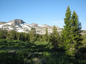
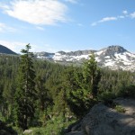
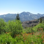
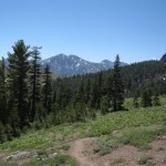
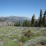
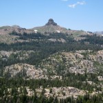
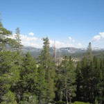
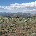
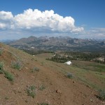
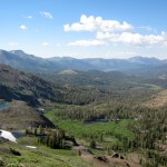
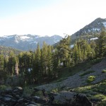
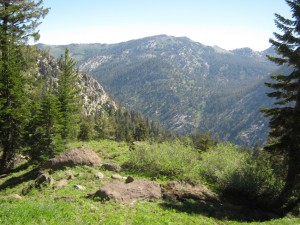
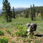
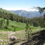
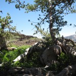
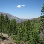
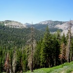
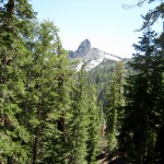
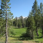
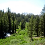
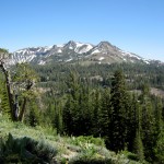
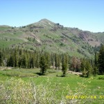
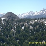
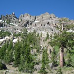
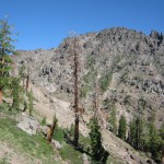
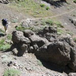
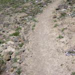
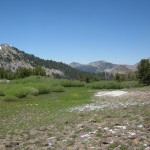
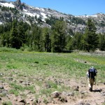
But uphill grind or not, there is no denying that the scenery was gorgeous–what a mixture of granitic and volcanic!  You can be walking along a trail that winds through big granite boulders, then suddenly you’re on pumice-y stuff, or looking at what’s obviously a volcano.  Peak 9500 is a prime example, and the PCT gets up close ‘n personal with that extinct volcano cone.  We saw other formations that looked like Devil’s Postpile.  Also amazing was the effect of the orange-colored lichen growing on the gnarly, twisted lava boulders–it made them look as if they were still molten lava!  And the higher we got, the more open the forest was, and there were stunning views of snowclad peaks all along the horizon.  Every meadow we came to was a deep, intense green, and wildflowers were everywhere.

As we were hiking along near Peak 9500, we met a whole group of Boy Scouts and their fearless leaders, taking a break beside the trail.  “Hi!” sang out one of the leaders.  “You guys want some ice cream?”   Ice cream!!??  How on earth could they possibly have ice cream?  But we weren’t about to turn down an ice cream opportunity.  “We sure do want ice cream!” I said.  “Do you have some?”   “Weeeelll, actually not,” said the leader.  “But we know where you can get some.”   “OK, where is it?”  (I had visions of maybe a trail angel up ahead at a road crossing).  “Weeelll, actually we just heard a rumor that there’s a Mc D’s up ahead a couple of miles off the trail.”   

OK, OK, so these Scouts were a bunch of practical jokers.  But that wasn’t all.  It turned out that the group we’d just been talking to was only half the Scout troop.  After we’d walked on for just a couple of minutes, we met the other half of the Scouts, hiking right along, but grinning evilly and carrying big snowballs!  We had no problem figuring out what they planned to do with those snowy missiles when they caught up with the rest of their gang.  It was actually rather tempting to turn around and follow them, just to watch the fun!

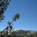
As we continued our climb, the trail unfortunately did have some issues. Periodically we went through stretches of deep woods, where snow lingered, plus every northfacing slope had plenty of snow left.  This did slow us down (my fault, as usual).  We stopped for lunch in a clump of determined trees that were clinging way up high on a sagebrushy hillside.  No mosquitoes!  We could eat in peace!  Then we spent the afternoon on a long, tiring climb up to the saddle by Tryon Peak.  There were many remnants of old cow fence–slowly rotting old posts, but no barbed wire.   There were still a few old cow pies, too.  When we reached the top of the saddle and looked down the other side, we groaned–it was northfacing, and full of snow.  The PCT headed off to the right, into a snow-piled white fir forest.  But–we could see Noble Lake down in the valley below.

july14_26trailgreen

 So we said “Phooey!” and went straight down, aiming at the lake, where we knew we could find the PCT again.  It worked!  We got to the lakeshore in time to eat supper, and only a few mosquitoes joined us!  Granite and Terrapin passed us while we were eating, and we were soon after them, following the long series of switchbacks down the lava field mountainside with its dramatic volcanic outcrops.

july14_43snowhills

Then– oh my! The outlet creek of Noble Lake (which we had to cross) was a roaring whitewater torrent, charging all over the trail. Yikes! But we knew that Granite and Terrapin had made it through, so surely we could, too.  Bill went first, very carefully, and immediately found that though it LOOKED very roaring and impressive, it actually wasn’t deep at all.  “That wasn’t  too bad,” he said.   So I waded across without a problem.  Whew!  “Next flat place we get to, we camp!” we vowed. We were very tired.  
But after the outlet creek crossing, the trail headed up and up on more steep mountainsides–no flat places available!  I went into what I call “hike ‘n scan” mode, where I am hiking at less than full speed, while simultaneously looking everywhere for someplace with camping potential.  After a little while, I noticed a possibility up ahead and was very happy–but when we got there, oh dear!  Granite and Terrapin had beat us to it, and there was only room for them on the tiny bit of “flat”.  We waved and pushed on for awhile longer before I spotted a tiny bit of a campsite in a grove of trees perched on the rocky mountainside.  The mossies were waiting to welcome us, but Bill said,  “No putting up the net tent.  I am too tired.”  So we just threw down a cowboy camp and crawled into our sleeping bags.  We were totally wiped out.
Walk to Rauros:  Still in Brown Lands, river broadens

july14_1treesjuly14_2treesviewjuly14_3viewtreesjuly14_4treelinejuly14_6trailforestjuly14_7meadowjuly14_8rockybrushjuly14_9rockfieldjuly14_10greenlushjuly14_11flowersmontyjuly14_12gladejuly14_13snowfalljuly14_14greenmeadowjuly14_15meadowtrailjuly14_16meadowhillsjuly14_17treesjuly14_18greehilljuly14_19montyjuly14_20treelinejuly14_21vistajuly14_22trailjuly14_23valleyjuly14_24valleyhikerjuly14_25trailtreesjuly14_26trailgreenjuly14_27forestjuly14_28treelinejuly14_29creekbedjuly14_30treesjuly14_31greentrailjuly14_32greenmeadowjuly14_33greenmeadowjuly14_34mountainjuly14_35meadowtreesjuly14_37mountainsjuly14_38montyviewjuly14_39montyviewjuly14_40viewjuly14_41hillsjuly14_42snowhillsjuly14_43snowhillsjuly14_1trailjuly14_2forestjuly14_3meadowhillsjuly14_4hikingsticksjuly14_5meadowsjuly14_6setupjuly14_7viewmountainsjuly14_8forestjuly14_9forestjuly14_10hillsjuly14_12viewforest