Posts Tagged ‘Donohue Pass’

Tuesday, July 13, 2010 Sonora Pass Miles Today: 18.8 Total: 1023.4

Tuesday, July 13th, 2010

july13_2trailsteep

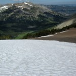
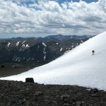
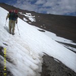
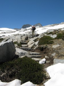
Well, I guess you could say today was “snow day”–lots and lots of it, including plenty of  traverses across STEEP snow on mountainsides!  But yahoo!   We made it up and over Sonora Pass, our last big pass.

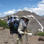
Last night the mossies stayed up all night, humming around our net tent.  When I had to get up and go to “the bathroom” at 4:45 am,  they swarmed me and I got lots of bites.  Grrrr!  When it was time to pack up this morning, we had to wear full raingear plus headnets to protect ourselves from the mossie squadrons.   Well, we did expect this, having heard from other thruhiker journals that this is typical Sierras-in-July.

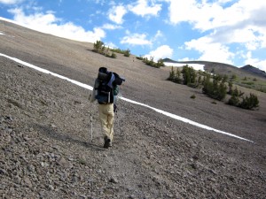
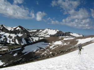
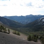
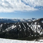
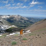
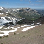
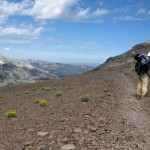
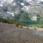
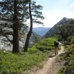
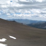
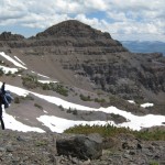
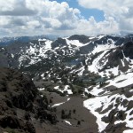
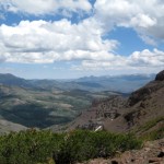
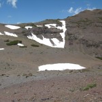
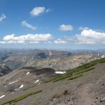
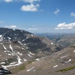
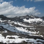
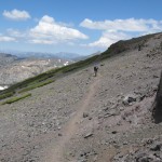
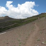
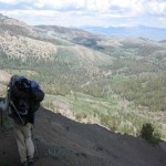
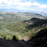
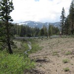
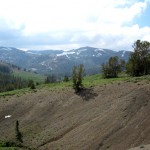
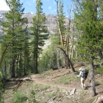
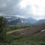
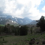
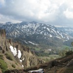
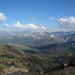
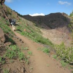
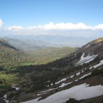
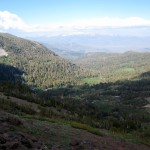
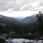
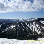
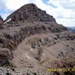
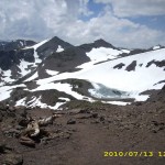
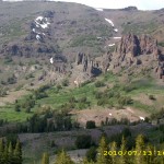
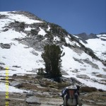
The hiking today began with a nice walk through the forest, then the climbing began.  The higher we went, the more the terrain opened up, and the views were increasingly gorgeous.  Not only that, but once we were up above timberline and out in the breeze–no more mosquitoes!  We began to meet other hikers, and began another day of leapfrogging with Barak and Uri, two guys from Israel. It took a bit of hunting for trail in the snow going up, but there were no steep traverses.  Everything on this side of Sonora Pass is very rounded and sort of mellow.  We took the “shortcut trail” , though, which goes straight up, and OK, that was steep, and I had the ice axe out again.  As usual, Bill just headed right up, and I was slow.  But wow, the views from the top were stupendous! Sierra peaks, all snowy, dominated the horizon to the south, and the dramatic volcanics of the Sonora Pass area were everywhere else.  Many hikers say (and I am inclined to agree) that Sonora Pass is the “best” of all the High Sierra passes.

july13_4snowmnt

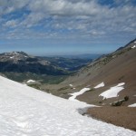
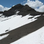
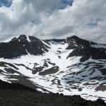
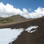
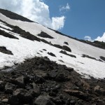
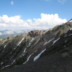
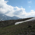
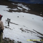
But large snowfields were everywhere (in fact, we walked by the place where we camped in 2005, and it was covered with snow).  All the trail signs were buried.  As we started down the far side of the pass, we caught up with Uri and Barak, who were worried and frustrated.  They desperately wanted to take pictures of the spectacular scenery, but weren’t sure if their camera was working.  It seems that on the last big creek crossing (where even Bill had trouble with the current),  Uri was knocked down by the river and though he managed to swim ashore, his camera got soaked.  Mostly he and Barak were worried about the camera memory card, because it had ALL their pics starting all the way back in Campo!  So we did a test.  They took the memory card out of Uri’s camera and we put it in ours and checked to see if it was working.  Hallelujah!   It worked! Uri and Barak practically did a victory dance right there on the trail.  They were able to take pics of Sonora Pass, and everything was OK. 

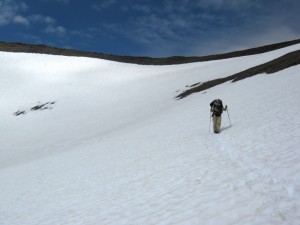
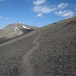
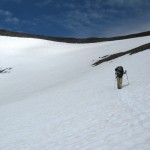
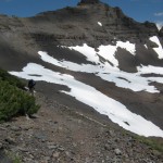
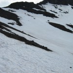
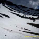
Leaving a very happy Israeli duo, Bill and I headed on into the snow.  We immediately saw that  the PCT is routed (of course) to go on the shadiest, snowiest slopes. So much of today was snow traversing on (thank God!) nice snow, perfect for walking.  We met lots of people–a bunch of SOBO’s, who had skipped up to Ashland and headed south from there, to give the Sierras more time to melt.  It was fun to see them all, and an amazing sight to see so many hikers, after days of being “just us.”  Since I am slow on snow, a number of other hikers finally caught up with us–Dude & Trouble, and Granite & Terrapin.

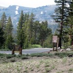
We ate lunch hunkered down behind some stunted trees, and  that was our last meal of the day, because we both agreed that we did not want to stop and camp till we were “below snow and above mosquitoes”, as Bill put it.  By 3:15pm, we reached the road at Sonora Pass, and there was Thomas, a trail angel with carrots, water, snacks, offer of a ride to town, AND a big black plastic garbage bag. “Give me your garbage!” he said, and we were very glad to hand it over!

july13_20snowlost

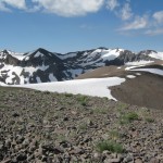
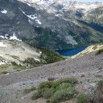
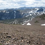
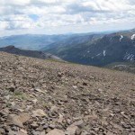
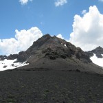
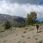
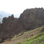
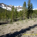
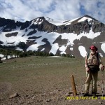
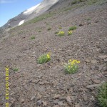
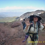
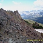
Many hikers go off the trail here and into town, but we pushed on, headed up our last climb of the day.  The snow was not bad, since it was on the south side of the mountain, and the views were great!  So were the wildflowers–blooming in every crack and cranny.  The rocks are no longer “granitic” but “volcanic”, so we knew we were making progress north!  We climbed past the dramatic “Pinnacles”, then a little while later and we were at the top, cheering because it was our last time at 10,000 feet!   While we were standing around taking pictures and cheering, some other hikers came along and asked why we were celebrating so much.  We explained that this was the last time the PCT goes up to 10,000 feet.  “Oh!” they said, and out came the camera phone.  “Tell us about it–we’ll film you!”  So we did a rerun of cheering and celebrating–“Last time at 10,000! (wave all 10 fingers)  Last time at 10,000!”

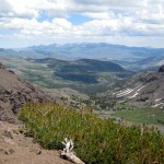
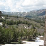
But from that point, the PCT route down to the Carson River stayed on the NORTH side of the valley.  The south side was snowfree, but we were back to hunting for trail in the snow (slow and frustrating!) until we finally stopped at about 7:30.  We had succeeded in getting below the snow, and there were only a few mosquitoes.  We were very tired and a bit hungry, since we skipped eating supper in order to reach the “no snow zone”.  It was very cold, so we set up the tarp and enjoyed a beautiful alpenglow sunset view after we were snuggled into our sleeping bags.  All the other hikers have passed us, since I am so slow on snow.  But if we can just get back to “regular trail”, I think we will catch up again!  And I am very grateful that the snow at least was nice to us today–no icy stuff and no postholing!

Walk to Rauros:  North of the Field of Celebrant in the Brown Lands

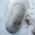
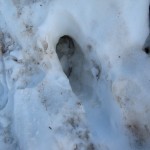
july13_1trailwidejuly13_3viewjuly13_5snowmntjuly13_6snowfieldjuly13_7snowypeaksjuly13_8viewsnowjuly13_9viewsnowjuly13_10dunejuly13_11distantlakejuly13_12snowfieldjuly13_13widetrailjuly13_14distantlakejuly11_15trailnewzealandjuly13_15rockytrailjuly13_16rockysnowjuly13_17snowfieldjuly13_18caradhrasjuly13_19openviewjuly13_20snowlostjuly13_21vistajuly13_22rockyvistajuly13_23bigsnowfieldjuly13_24mountainsjuly13_25rockytrailjuly13_26mountainssnowjuly13_27snowcloudsjuly13_28mountainsjuly13_29snowyjuly13_30snowviewdownjuly13_31bigviewjuly13_32rockyviewjuly13_33viewvalleyjuly13_34montytrailjuly13_35mountainsjuly13_37yesmountainsjuly13_38dunewithsnowjuly13_39mountainsteepjuly13_40valleyviewjuly13_42valleyjuly13_43valleylakejuly13_44mntcloudsjuly13_45mntclouds2july13_46steepmntjuly13_47widetrailjuly13_48snowfieldjuly13_49mountainjuly13_50trailcloudsjuly13_51valleyvistajuly13_52bigvalleyjuly13_53bigvalleyjuly13_54moresnowjuly13_55snowprintjuly13_56snowfieldjuly13_57snowprintjuly13_58snowjuly13_59walkingtrailjuly13_60valleyviewjuly13_61mountaincrestjuly13_62_valleyjuly13_62valleytreesjuly13_63valleytreesjuly13_64hilljuly13_65trailjuly13_66trailforestjuly13_67viewstormyjuly13_68viewhillsjuly13_69snowjuly13_70snowcloudsjuly13_71trailrockyjuly13_72trailhikejuly13_73vistajuly13_74vistamntjuly13_75viewjuly13_76ruggedjuly13_77tarzantrailjuly13_78ruggedrockyjuly13_79vistajuly13_80viewbigjuly13_81viewhikerjuly13_82vistajuly13_83viewvalleyjuly13_84printssnowjuly13_85vistarocksjuly13_86viewjuly13_1viewjuly13_2mountainbilljuly13_3vistasnowmountjuly13_4snowfieldjuly13_5crosssnowjuly13_6snowymntjuly13_7redrocksjuly13_8rockyfieldjuly13_9snowtrailjuly13_10snowtrailjuly13_11snowjuly13_12rockyjuly13_13rockyvistajuly13_14snowmountjuly13_15snowfieldjuly13_16manjuly13_17viewhillsjuly13_18rockgardenjuly13_19vistajuly13_20montyvistajuly13_21rockyvista

Friday, July 9 Tuolemne Meadows Miles today: 20.6 Total: 941.6

Friday, July 9th, 2010

july9_2mntlake

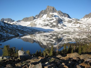
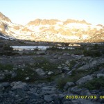
The 20+ miles we did today were tough miles, but we managed to land up in the end at Tuolumne Meadows! We were up ‘n at em at 5:00am, knowing we had TWO snowy passes to cross. First was Island Pass, with its gorgeous views of Banner Peak and Thousand Island Lake. The snow was definitely a factor, but not too bad compared to what we have been through. We never lost the trail for very long.

Then the PCT took us down into an area with a multibranched creek, and we got totally messed up. Wel missed a turn of the official PCT, and unknowingly headed off on some other trail that eventually just petered out in the woods.  We tried to go back and find the PCT again, which involved a lot of creek crossings, and no luck in locating any trail.  Bill finally said, “Forget this!  Let’s just go for it.  We’ll go straight up and get to Donohue Pass somehow.”  So we just headed off through the woods and uphill.  Eventually we came to a very rocky area, and oh joy!   There was the trail again!   (I think Bill may have been a little disappointed, though.  He sort of likes bushwhacking adventures!) 
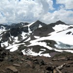
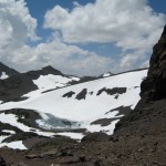
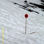
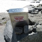
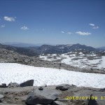
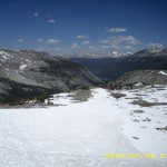
The rest of the climb up to Donohue Pass was a rerun of what we’d been through before–watching for bits of trail appearing out of the snow, and heading for them.  When in doubt, oh well–just head for the top of the pass.  One really nice thing was that Donohue is not a steep, scary pass like some of the others, and it isn’t rough and rocky.  Instead, it’s huge sheets of smooth granite–very comfortable to walk on.   When we reached the top, we were very amused by a drop box where people could leave their survey forms (not sure where they got them originally) to give their opinion about their trail experience.

july9_6snowtrail

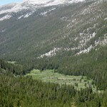
As we started down the other side of Donohue, we began to meet more and more JMT’ers–all sorts of folks, both old and young.  Partway down we stopped to cook a hot lunch, but didn’t linger over it, because we were determined to reach Tuolemne Meadows post office before it closed. So once we were across the last “big ford” of the Tuolumne River, Bill took off. I followed as fast as I could.  The trail was very rocky and rough as it headed down into the Tuolemne River valley–which made for slow going (for me), but the flowers (especially the “heather” ) and the views were so beautiful!   Whenever I am anywhere near Tuolemne, I alwasys feel as if I’m “coming home” because my family camped here several times when I was a kid.

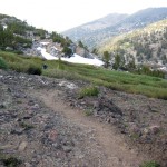
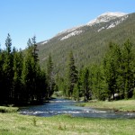
Once I made it down the rocky hill, the PCT goes for many miles through green meadows, forests,  and creek crossings.  I very much wished it were earlier in the day so that I could linger and walk more slowly to enjoy the beauty,  but instead I pushed along as hard as I could.  A couple of miles before I reached the campground, I was so exhausted that I had to slow down, and by the time I reached the “hiker hangout” by the store, I was totally wasted.  All I could do was just collapse on the ground.  It was 6:15 pm, and it turned out that Bill had only beat me by 40 minutes. 

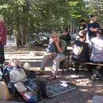
 However, he did have our box, and he had bought some Odwallas,  so I lay on the ground and slowly sipped an Odwalla till I felt revived enough to tackle sorting the box.   Lots of other thruhikers were doing the same thing–it was fun talking with everybody and seeing what they had in their boxes!  The Disraeli Gear had really interesting stuff–they are from Israel, and their food items were not like ours.  I particularly enjoyed talking to “DoubleCheck”–he’s a very enthusiastic, interesting chap.  Meanwhile, Bill had gone off to find us a place to camp.  His final conclusion was “Let’s just go to the backpacker camp.” 

So with heavy packs (7 days of food to get us to Echo Lake), we strolled over to the backpacker zone.  I was concerned about finding a water faucet where we could fill our platypuses.  I asked several people, but nobody knew anything.  All they could say was, “I guess you could get water at the bathroom.”  At this point, I was so tired that all I wanted to do was collapse, but instead I ended up wandering all over the campground, looking for a faucet.  No luck.  I couldn’t believe it!   Finally, almost ready to cry, I dragged myself back to our camp and voila!   Not too far away, near the campfire circle, I found the faucet!  As soon as I filled the platypuses, I crawled into my sleeping bag, completely wasted.  Bill and I are cowboy camped, and surrounded by lots of JMT’ers in big tents.  I couldn’t believe they were planning to drag those big heavy tents with them!  And they were equally astounded that we only carry a tarp, and only set it up if we HAVE to.

The ranger campfire program nearby was a familiar sound, and it was nice to know that our food was safe in a bear box for the night.   All through the Sierras, Bill and I have been keeping only our “smellier” food in the bear cans (things like Snickers and cheese, etc).  The rest of our food just parks in the food bags as usual, and we sleep with the bags right next to us and trek poles at the ready in case a bear comes around.  We’ve never had a problem, since we never camp near water, nor do we camp where other hikers are.  But still….it was a good feeling to have that nice bear box!   And it is so wonderful to have reached Tuolemne!

Walk to Rauros: Leave the border of Lothlórien and are given gifts from Galadriel

july9_1sunrisemntjuly9_3billmntjuly9_4mntcreekjuly9_5trailrocksjuly9_7signjuly9_8snowmntjuly9_9greenhillsjuly9_10meadowcreekjuly9_11creekjuly9_12hikerstablejuly9_1sunrisejuly9_3snowfieldjuly9_4snowviewjuly9_5snowmountain