Tuesday, July 13, 2010 Sonora Pass Miles Today: 18.8 Total: 1023.4
Tuesday, July 13th, 2010
Well, I guess you could say today was “snow day”–lots and lots of it, including plenty of traverses across STEEP snow on mountainsides! But yahoo! We made it up and over Sonora Pass, our last big pass.
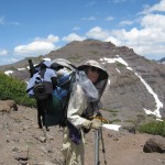
Last night the mossies stayed up all night, humming around our net tent. When I had to get up and go to “the bathroom” at 4:45 am, they swarmed me and I got lots of bites. Grrrr! When it was time to pack up this morning, we had to wear full raingear plus headnets to protect ourselves from the mossie squadrons. Well, we did expect this, having heard from other thruhiker journals that this is typical Sierras-in-July.
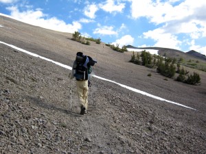
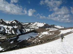
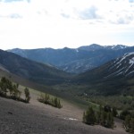
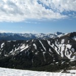
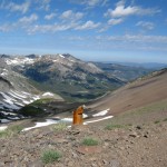
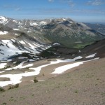
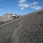
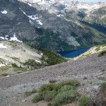
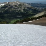
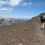
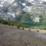
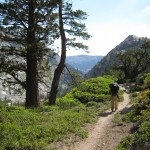
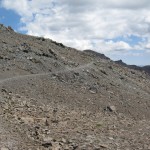
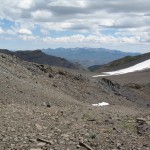
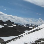
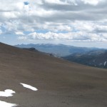
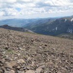
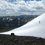
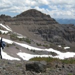
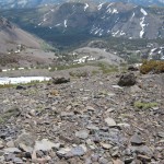
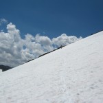
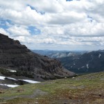
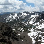
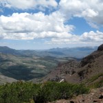
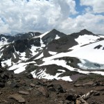
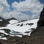
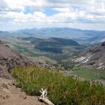
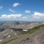
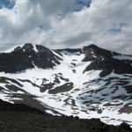
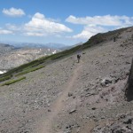
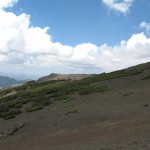
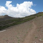
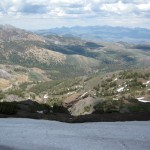
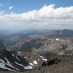
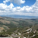
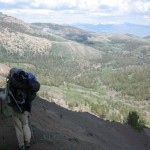
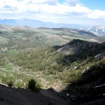
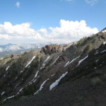
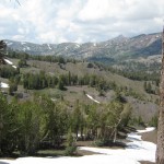
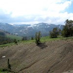
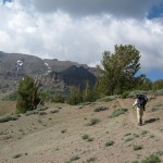
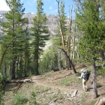
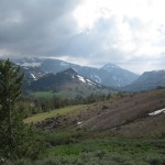
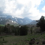
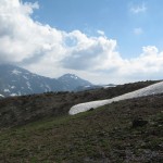
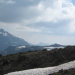
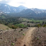
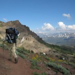
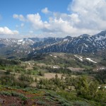
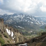
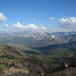
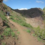
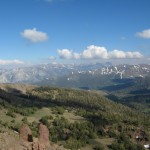
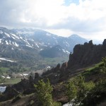
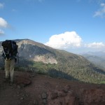
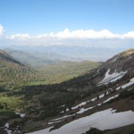
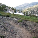
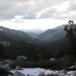
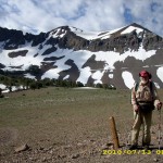
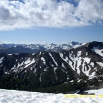
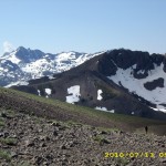
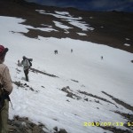
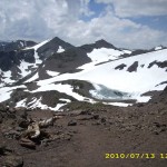
The hiking today began with a nice walk through the forest, then the climbing began. The higher we went, the more the terrain opened up, and the views were increasingly gorgeous. Not only that, but once we were up above timberline and out in the breeze–no more mosquitoes! We began to meet other hikers, and began another day of leapfrogging with Barak and Uri, two guys from Israel. It took a bit of hunting for trail in the snow going up, but there were no steep traverses. Everything on this side of Sonora Pass is very rounded and sort of mellow. We took the “shortcut trail” , though, which goes straight up, and OK, that was steep, and I had the ice axe out again. As usual, Bill just headed right up, and I was slow. But wow, the views from the top were stupendous! Sierra peaks, all snowy, dominated the horizon to the south, and the dramatic volcanics of the Sonora Pass area were everywhere else. Many hikers say (and I am inclined to agree) that Sonora Pass is the “best” of all the High Sierra passes.
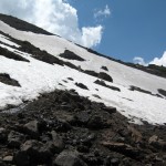
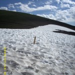
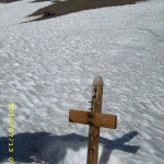
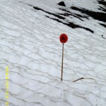
But large snowfields were everywhere (in fact, we walked by the place where we camped in 2005, and it was covered with snow). All the trail signs were buried. As we started down the far side of the pass, we caught up with Uri and Barak, who were worried and frustrated. They desperately wanted to take pictures of the spectacular scenery, but weren’t sure if their camera was working. It seems that on the last big creek crossing (where even Bill had trouble with the current), Uri was knocked down by the river and though he managed to swim ashore, his camera got soaked. Mostly he and Barak were worried about the camera memory card, because it had ALL their pics starting all the way back in Campo! So we did a test. They took the memory card out of Uri’s camera and we put it in ours and checked to see if it was working. Hallelujah! It worked! Uri and Barak practically did a victory dance right there on the trail. They were able to take pics of Sonora Pass, and everything was OK.
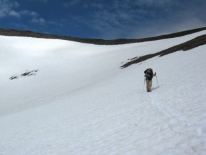
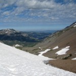
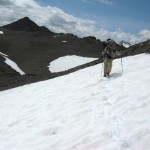
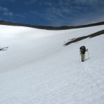
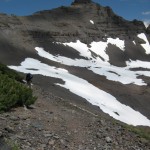
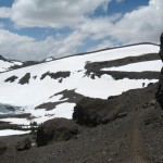
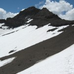
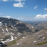
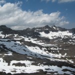
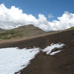
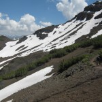
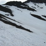
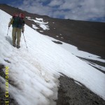
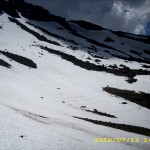
Leaving a very happy Israeli duo, Bill and I headed on into the snow. We immediately saw that the PCT is routed (of course) to go on the shadiest, snowiest slopes. So much of today was snow traversing on (thank God!) nice snow, perfect for walking. We met lots of people–a bunch of SOBO’s, who had skipped up to Ashland and headed south from there, to give the Sierras more time to melt. It was fun to see them all, and an amazing sight to see so many hikers, after days of being “just us.” Since I am slow on snow, a number of other hikers finally caught up with us–Dude & Trouble, and Granite & Terrapin.
We ate lunch hunkered down behind some stunted trees, and that was our last meal of the day, because we both agreed that we did not want to stop and camp till we were “below snow and above mosquitoes”, as Bill put it. By 3:15pm, we reached the road at Sonora Pass, and there was Thomas, a trail angel with carrots, water, snacks, offer of a ride to town, AND a big black plastic garbage bag. “Give me your garbage!” he said, and we were very glad to hand it over!
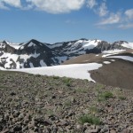
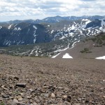
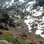
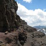
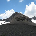
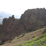
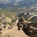
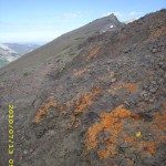
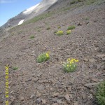
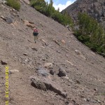
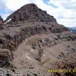
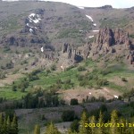
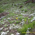
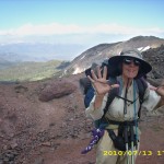
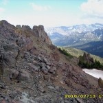
Many hikers go off the trail here and into town, but we pushed on, headed up our last climb of the day. The snow was not bad, since it was on the south side of the mountain, and the views were great! So were the wildflowers–blooming in every crack and cranny. The rocks are no longer “granitic” but “volcanic”, so we knew we were making progress north! We climbed past the dramatic “Pinnacles”, then a little while later and we were at the top, cheering because it was our last time at 10,000 feet! While we were standing around taking pictures and cheering, some other hikers came along and asked why we were celebrating so much. We explained that this was the last time the PCT goes up to 10,000 feet. “Oh!” they said, and out came the camera phone. “Tell us about it–we’ll film you!” So we did a rerun of cheering and celebrating–“Last time at 10,000! (wave all 10 fingers) Last time at 10,000!”
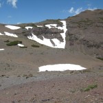
But from that point, the PCT route down to the Carson River stayed on the NORTH side of the valley. The south side was snowfree, but we were back to hunting for trail in the snow (slow and frustrating!) until we finally stopped at about 7:30. We had succeeded in getting below the snow, and there were only a few mosquitoes. We were very tired and a bit hungry, since we skipped eating supper in order to reach the “no snow zone”. It was very cold, so we set up the tarp and enjoyed a beautiful alpenglow sunset view after we were snuggled into our sleeping bags. All the other hikers have passed us, since I am so slow on snow. But if we can just get back to “regular trail”, I think we will catch up again! And I am very grateful that the snow at least was nice to us today–no icy stuff and no postholing!
Walk to Rauros: North of the Field of Celebrant in the Brown Lands
Tags: Donohue Pass, mosquitoes, Sierras, Sonora Pass

