Archive for the ‘CA Northern – O’ Category

Tuesday, August 3, 2010 Castella Miles Today 27.3 Total: 1,505.8

Tuesday, August 3rd, 2010

aug3_1trailforest

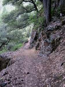
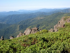
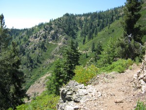
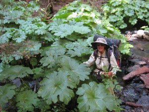
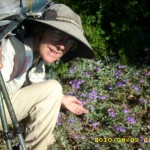
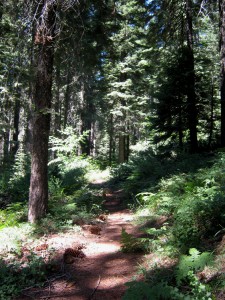
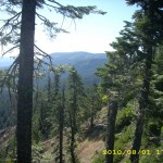
God is amazing! Today was another “miracle day.” For starters, the trail was very nice all day– minimal blowdowns and bushes, and though two of the uphills were looooong–one was 6 miles–all were all easy grades. Not only that, but much of the trail today was in shady forest, which was wonderful, because it was a hot day and water sources were few & far between.  The trees were so pretty, and there were so many elevation changes that the vegetation variety was fascinating.  I really like looking at all the plants along the trail, and elevation changes make for a lot of differences.  

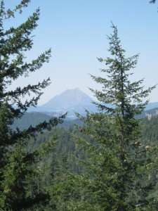
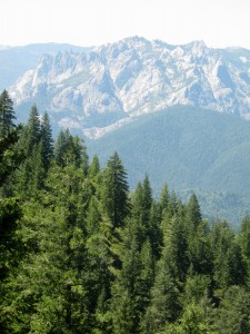
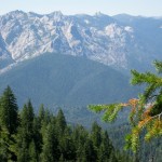
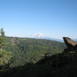
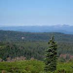
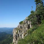
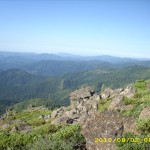
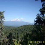
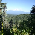
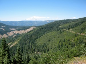
 Having a good trail that was mostly in the shade was wonderful, and at the end of the 6 mile “up” the views were just amazing– a panorama of Mt. Shasta, Cinder Cone, Interstate 5, and Castle Crags, all sort of lined up and saying, “Look at me!”  Wow!  The snow on Mt. Shasta is melting fast–each day there is noticeably less.  My only frustration was that for some reason I’m starting to have a bit of trouble on uphills.  I find myself getting tired easily and slowing down.  I was surprised when ‘the rest of the gang” didn’t catch up with us today.  Bill and I had the trail all to ourselves.

aug3_3treeshill

All day I was thinking and praying about “where shall we camp tonight?” Last time we stayed at the PCT camp in Castle Crags state park, but given the number of hikers, I figured the poor little PCT campsite would be very crowded. Not an appealing thought!  But camping somewhere else out in the woods was illegal. I kept mulling over what other options to consider.  But by afternoon, I felt that God was telling me, “Trust Me. When you get down to River Road, just ask.” So I resolved that I would do just that.

aug3_5mountain

Bill and I hiked down the miles and miles of switchbacks of beautiful forest, heading down to the Sacramento River. Suddenly Bill stopped. He said he needed to “dig a hole” (hiker term for go to the bathroom) and that I should not wait, but keep going and  meet him at River Road. “Hmmm,” I thought, “this is interesting.” So I hiked on. Just as I reached the road, along came a car. I stopped and waited for it to pass, but the driver waved me across.  “Maybe I should ask HER,” I thought, so I asked the lady driver if she  knew any place  we could stay the night (it was 6:20pm) and the driver, Martha, said, “Yes– my house!”

Martha’s house was up the road a little way, so I waited till Bill showed up, and we walked till we found the right address– a real, handbuilt, 2-story log cabin (part of which was built in the 1880s!)  It turned out that Martha and family are lovely Christians, and we were so blessed to be able to stay with them.  Martha said that the “new” part of the house was built by a PCT thru-RIDER who’d stayed with them several years ago.  He does oldtime style logging with his horse, and she invited him to come back when he was done with the PCT and build an addition on to the house.  He did all the necessary logging right on the property, and used the horse to bring logs to the building site.  Martha said it was a blast to watch–the guy actually “rode” the logs as the horse brought them in.

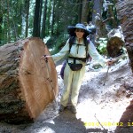
Martha fed all her horses and animals, then she fed US a wonderful dinner, which included fresh produce from her garden.  It was so great to be able to hang out with fellow Christ-followers who love to help other people (and animals, too–Martha likes to help sick and abandoned animals).  We were blessed by their fellowship and prayers.  Martha also told us that this last winter was “pretty bad–a lot of wet, heavy snow.”  She said that many trees went down (so that’s why we’ve had to deal with so many blowdowns).  Right on her own property, she lost a number of big trees. 

Tonight, we are camped on Martha’s lawn, with beautiful flowerbeds nearby, and even some peacocks wandering around!  All I can say is “God’s guidance and timing are awesome!”   If I’d been ONE MINUTE earlier or later getting down to the road, I would have missed Martha’s car, and who knows where Bill and I would be camped tonight?

Walk with Aragorn to Isengard: Find Gandalf and enter the boggy Entwash

aug3_2vistadarkaug3_4mountainaug3_1creek

Monday, August 2, 2010 Miles Today: 27.2 Total: 1,478.5

Monday, August 2nd, 2010

aug2_4vistagreen

Today turned out to be a “miracle day” for us, a miracle of God’s guidance, for which we are mega-grateful!  Everything was pretty normal when we got up at 5:15, determined to get to Moosehead Springs for water (our supply was really low!).   The two Israeli girls, Shani and Noga, had the same idea!  We had no trouble finding the place this time–in 2005, the only indication of where the springs/creek was located was a little sign scratched on a rock that was sitting on the ground.  We would have missed it, only Bill was not feeling well at the time, and he sat down right near the sign! 

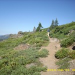
All early morning long, the PCT was a bit of a slog– the trail was mostly uphill, plus it seriously needed blowdowns cleared and bushes pruned back. We climbed over all sorts of  tree-fallen-across-the-trail obstacles, shoved and bullied our way through bushes, and even had to go around a large snowpatch! Compensation– awesome views of the deep green, forested Northern California mountains!

aug2_8trailrugged

But around 9:00am, without knowing it, we walked off the PCT and on to an abandoned road. It looked like nice PCT trail, with plenty of  footprints, wildflowers and beautiful views. We hiked merrily along till the trail went back into the forest, and there was a strange, unmarked junction with an obviously well-used trail.  “What could this be?” we wondered.  We couldn’t find anything on our map.  After some puzzling, we gave up and kept on hiking till 9:30, when we stopped for our usual Snickers break.  After that, our nice trail started to be very overgrown, and we were pushing through bushes again.  Not a problem–we’d been doing plenty of that already this morning!

A ways further down, we were met by an indignant dog, who ruffused at us and growled.  Right behind the dog was  a keen-eyed, tanned older guy.  He sized us up.  “Are you PCT hikers?” he asked.  “Yup!” we grinned.    “Well, you’re not on the PCT.”  We were shocked.  It turned out that the guy was out planning for his deer  hunting trip in October, and had come up this abandoned road to reconnoiter a bit.

aug2_11montyleaves

 He set us straight as to where to find the PCT (“Up there on that ridge”) and we hurried to turn around and get back on track. Thank you, Lord, for that hunter guy! If we hadn’t met him, we would have wandered who knows how far off our trail!   Eventually we found the PCT again and determined to be a LOT more careful about following it!   A ways along, we met a bunch of hikers we’ve been leapfrogging with.  “Where have you been?”  they all demanded.  “Well, um, actually, we were lost.  Sigh.”  “Bummer,” said the gang.

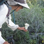
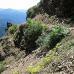
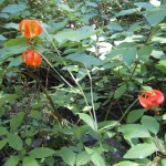
A short time later, we all reached the “go around/or over Grizzly Peak” part of the trail.  Some of the guys opted for “go over”, up to the fire lookout; we opted for “go around.”  We’d had enough of going offtrail to last us for the rest of the day!  The PCT is an amazing piece of construction here.  There are places where the trail literally crosses the face of a cliff.  The trail engineering is amazing!  I enjoyed lily-watching, too.  I’ve noticed that in the sunshiny stretches, where the trail goes through chaparral, there are white lilies blooming, whereas when you go down into a canyon and are walking by a creek, you see orange lilies.  This is definitely a “lily section” of the PCT!

 At the top of the climb around Grizzly Peak,  we stopped for some hot cooked lunch, then headed down for water at Deer Creek.  The rest of the gang had passed us when we stopped for lunch, but we caught up with them again at the creek.  Everybody was washing socks and as much as they could of themselves, too.  It was a warm afternoon, and we were all sweaty.

From Deer Creek on, for a good while, the trail was VERY nice!  It had recently been groomed by an AmeriCorps team.  Thanks, guys!

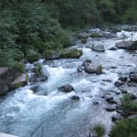
Finally at 6 pm, we reached the McCloud River.  We’d thought of maybe camping there, but it was still a bit early, and there were a lot of car campers, so we crossed the bridge over the roaring, bluegreen McCloud, and followed the PCT uphill into the woods and canyons.  Even though it was evening, it was still 90 degrees in the shade,  and mosquitoes zoomed in every time we paused for a moment.

We finally stopped to camp at the road down to Ah Ni Ta.  We were busy setting up our net tent, when 3 dayhiker ladies came along and stopped to talk.  They recognized that we were thruhikers, and regretted that they had nothing to share with us, foodwise! “We ate it all,” they said.  “Wish we had some leftovers.”   They drove away, and we batted aside the clouds of small mosquitoes so we could dive into the net tent for the night!
Walk with Aragorn to Isengard: Enter Fangorn in search of the Hobbits

aug2_1montyfloweraug2_2vistagreenaug2_3vistaaug2_5ruggedrocksaug2_6trailmeadowaug2_7brokentreeaug2_9trailruggedaug2_10flowersredaug2_12roaringcreekaug2_1trailmeadowaug2_2trailvistaaug2_3viewforestaug2_4viewforestaug2_6montyflowersaug2_7plantsaug2_8montyfelledtree

Sunday, August 1, 2010 Miles Today: 26.7 Total: 1,451.3

Sunday, August 1st, 2010

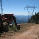
aug1_2workzone

We had a little bit of trouble locating the PCT this morning.  We packed up at 5:15 and followed a trail that said it went to the “fisherman bridge.”  Some bridge!  It was actually a PIER!  Knowing that the PCT was on the other side of the river, not far away, was frustrating!   So we turned around and walked all the way back to the parking lot, looked at signs, and picked another trail.  Only a few steps along the other trail, and we spotted the BRIDGE!  Whew!

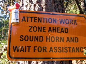
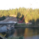
Once on the other side, it was easy to find the PCT.  We didn’t stick to it exactly, but just walked the road down to the  Lake Britton dam. Wow! There was a big construction project on; it looked like they were reinforcing the hillside plus doing other work.  There was a big orange sign that told us to stop and sound the provided air horn so they’d come escort us through.    But it was Sunday, and not a construction worker in sight, so we just strolled right on across. 

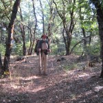
 The PCT happily climbed back up and up into a lovely oak forest that’s just like the ones we hike in back home. We stopped off for breakfast in a lovely grove, with soft leaves all over the ground.  Nice!  A bit more up, and then the views begin–of deep canyons, rollicking creeks, and distant jagged mountains with snow still on them.  There are no “burn zones” here– all is very green and the trees are very large.  The trail was mostly so nice and shady that I hardly needed my sunglasses all day.

aug1_5forest

Eventually we came to more “work zone warning signs” which said to be careful because the rangers were busy thinning and pruning the forest on the theory that it would all grow better and healthier if it were thinned instead of just being allowed to grow any ol’ way it wanted to.  Hmmm!  Maybe somebody went to Switzerland and saw how they take care of their forests, and maybe those “Oh, don’t touch Nature…let Nature run its course..” people are finally beginning to see the light!  In 2005, up in Oregon, we went through two sections of forest that were as different as night and day.  One was green and healthy. It was the one where people could come collect downed wood.  The other was full of dead wood, dead branches, and dying trees.  That was the one with the warning sign about “No wood collecting.”  It’s a no-brainer–forests need to be TAKEN CARE OF, not left to the whims of nature. 

aug1_8vistagreen

One thing we have to be very mindful of now, however, is water. We have to strategize and plan carefully, just like in Southern CA. Most water sources are springs (we love springs!) or creeks, and are usually 12-15 miles apart. We arrived at Peavine Creek around noon, and took on enough water to last us the whole rest of the day.  Several hikers caught up with us when we stopped to eat. 

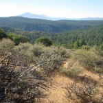
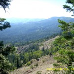
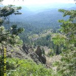
Afternoon hiking today was tough.  The trail headed uphill again, and was very overgrown.  We had to do a fair amount of pushing and struggling through bushes.  The trail itself also became very rough, rocky ‘n rooty. It was a hot afternoon, too, and that plus all of the other factors really slowed me down.  But there was compensation–VIEWS!  Wowweeee! Awesome views!  We also met a very nice couple from Simpson College in Redding.

aug1_10wildflowers

By afternoon Snickers break, I really was wasted from the heat (90s in the shade), all the uphill, bushes and rough trail.  Eventually the trail got “nice” again (Thankyou, trail gorillas! We appreciate all your hard work!)  and we reached the next spring, which had cold, wonderful water.  The only bummer in the late afternoon was never being quite sure where we were!  There are so few trail junctions and clear landmarks in this section. We finally figured it out when the trail followed along the edge of a BIG dropoff!  And every time we got to the top of yet another climb, there was Mt. Shasta, getting nearer and nearer!

The trail edges today had lots of wildflower borders, and ON the trail, there was a lot of bear scat.  I wondered what the bears eat around here.  The manzanitas are loaded with green berries, but I don’t think bears would eat them till they’re ripe.  Actually, one of the things that was really nice about today was the fact that everything was so green! In 2005, when we passed through here, it was mid-September and everything was in fall colors already.   After looking at all that bear scat, though, we secured our food well before turning in. 

Walk with Aragorn to Isengard: Follow trail east, find dead Orcs shot by arrows

aug1_1sunrisewateraug1_3forestaug1_4trailbrushaug1_6powerlinesaug1_9trailwildflowersaug1_1viewhillsaug1_2viewforestaug1_3forest