Posts Tagged ‘Sierra Buttes’

Thursday, July 22 Sierra City Miles Today: 21.4 Total: 1,214

Thursday, July 22nd, 2010

july22_1montygreenhill

It was pretty dark in the forest in a creek canyon at 5:15 this morning– no problem– we were headed for breakfast in Sierra City! Oh yes! We passed Mr. Mountain Goat (just getting up) and reached the shortcut turnoff for town. My only disappointment as we headed briskly along on such a beautiful morning was that the back of my right hip is still really hurting anytime I have to walk downhill.  I finally “solved” it temporarily by walking as if  I were balancing something on my head.  I sure wish I knew what the problem is.  But the thought of “Hot breakfast!  Sierra City!” was enough to erase most any concern!

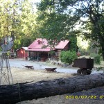
The walk into town is fun–through the campground (where a few people were just beginning to emerge sleepily from their tents) and then the interesting houses (some are log cabins), each with snowmobiles parked outside and covered with tarps for the summer.  Once at the highway, we headed for the Red Moose. Hmm– in the front window was a big “Sorry, we’re CLOSED” sign– but stuck on the window just above it was a little note that said “PCT People– knock or holler– we’re open for YOU!” And when we stuck our heads in the door, the place was full of hikers eating breakfast!

july22_2vistatrees

There was a menu, but most hikers were just saying, “give me one of everything!” We ate and ate and enjoyed talking to everybody.  The Red Moose’s new owners are awesome!  They let hikers camp in the backyard, take showers, do laundry, use their cell phone, and sort resupply boxes, all for free.  Wow!  More and more hikers kept arriving from the trail, and as each came in the door, all the rest of us would cheer and welcome them.  It was totally fun!  Eventually I went and got our  PO box, did a shopping run to the store and finally we headed out, walking the shoulder of Highway 49, back to the trail.

july22_3vistaforest

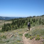
First thing, of course, is the big climb (4.5 hours) up and around the Sierra Buttes, on a hot day.  The first few miles are nice shady switchbacks, but eventually, the trail is out in the sun and it’s pretty rocky.  A trail crew was out doing some badly needed brushing work, and we thanked them heartily!  There was a moment of excitement as two jets flew by BELOW us, twisting and weaving their way along the canyon at treetop level. 

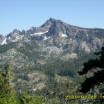
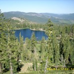
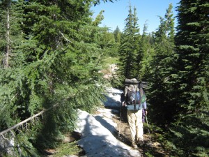
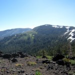
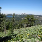
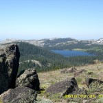
Finally we reached the top of the climb, and began meeting dayhikers, who were headed to and from Sierra Buttes.  Obviously they didn’t come in the way we did!  They park their cars at various other nearby access trailheads.  The north side of the Buttes still has snow on it, and there was snow by the trail, but none ON the trail (good!).  Once you are at the top, the route spends awhile as a “crest walk” looking down on all the lakes shimmering blue down below. At one point, we reached a trailhead parking area and it wasn’t clear where to go next.  We were standing around studying our maps, when some guys came along and set us straight–“Just follow the road to the Packer Lake turnoff.” 

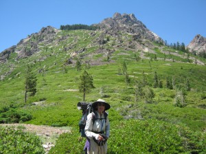
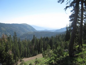
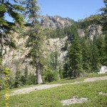
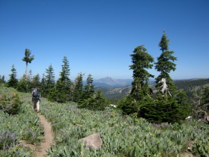
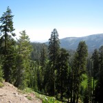
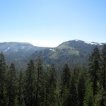
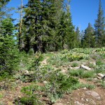
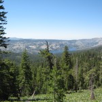
So we did, and enjoyed the beautiful views as we walked along.  The mosquitoes were pretty bad,though.  As long as we keep moving we’re fine, but the minute we stop, we get swarmed.  The trail went up and down, and at every “up”, I was scanning the horizon for a sight of Mt. Lassen–no luck on that yet!  The wildflowers along the trail were very nice, but not as numerous as before.  This is rugged, rocky country, crisscrossed by many dirt roads, with dramatic volcanic rock formations along the crest of the ridges.  We’re back to having to be careful about water–the trail stays up high above the many lakes; creeks and springs on the trail are few.  So though we are no longer having to carry heavy bear cans, ice axes, crampons, etc., we do have to carry a pretty heavy water load.

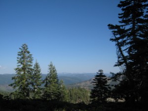
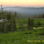
We found what we thought would be a really nice campsite, flat and breezy on top of a ridge.  The sunset was beautiful–all red and gold.  Bill and I were doing our share of oohing and aahing as we watched it, and we weren’t the only ones–a car came by on a dirt road we didn’t even know was there, and a bunch of people got out to watch the sunset, too. 

But after the sun went down, the breeze stopped and the mosquitoes were back.  Bummer.  We are cowboy camped, and the thought of leaving our sleeping bags to put up the net tent (probably getting well chewed up in the process) was just too much.  So we just squiggled down into our bags and draped headnets over us.  I spent some time asking God for wisdom about how to fix my hip pain problem.  Every time I’ve asked before, He always has answered, and I am trusting that will be the case this time, too.   

Walk to Rauros: In ruins of weathered stone near the Emyn Muil

july22_1sunrisejuly22_2buildingsjuly22_3closedjuly22_4meadowviewjuly22_5meadowviewjuly22_6mountainjuly22_7distantlake

Wednesday, July 21 Miles Today: 29.6 Total: 1,192.6

Wednesday, July 21st, 2010

july21_2billsnowforest

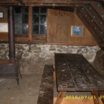
What a great place– staying at the Peter Grubb hut! It turned out we were all early risers (5 am), and everybody was eager to put a dent in the miles to Sierra City.  I asked Mr. Mountain Goat about what he’d been cooking last night that smelled so good, and that’s when I found out that the key ingredients were fresh garlic and “AUSSIE shiraz”.  He was also planning to make himself a really nice breakfast, so when Bill and I and Myra headed out for the trail, he headed for the kitchen!  He told me that by the time he reached Pooh Corner, he’d been just about ready to quit the PCT and go home to Australia, but then he decided, “No way will I let California ‘beat” me!  I am NOT going to let the ‘white demon’ (snow!) make me give up!” 

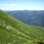
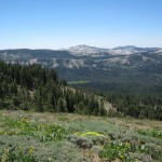
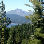
So off we went into a very chilly morning, through very green, very muddy meadows, with lingering patches of snow.  The trail goes up and down a lot (no “killer ups”, though) and at the top of every “up”, there is an awesome view.   I kept scanning the horizon for the Sierra Buttes, and pretty soon, there they were–a dramatic, jagged profile in the distance.

july21_8meadow

After that,  every “up” showed the Buttes getting closer. We were still dealing with some “where is the trail?” hunting in the snow on northfacing, shady slopes, but we always managed to find it again.  Everywhere we looked, there were mountains rising up from brilliantly green valleys.  Beautiful!  We also spent many hours crossing mountainsides that were covered with mules’ ears and lupines–very pretty, but after awhile, having to constantly push through them got a bit tedious. 

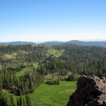
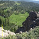
I cheered when I got to one of my favorite PCT spots, which I call “The Big Lava Dropoff”.  I wish I could think of a more colorful name, but that’s what it is–a very high cliff of lava that goes straight down to a lovely meadow below.  The PCT goes right along the edge of the cliff, which is also studded with huge lava boulders, and the views are great!  We stopped for lunch in the shade of a tree, and just as we finished, along came Mr. Mountain Goat, moving fast!  We followed him soon after, thinking about where to get water, since we were running low. 

Near  Jackson Reservoir, we met a retired couple out for a walk on the PCT and asked them whether the springs up ahead were running (we’d planned to get water there), and they said, “Yes, but why don’t you just go to the campground for water?  It’s less than a quarter mile off the trail.”  So we decided to do that, and were sitting near the water faucet eating Snickers and drinking “bug juice” (Emergen-C mixed with Crystalite) when the couple came along again and invited us to their camp!  It seems they’ve been camping here and watching for PCT hikers so that they can feed them and hear their stories! 

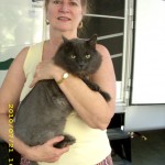
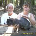
It turned out that they are from Texas, but like to camp here at Jackson Reservoir in their RV, accompanied by their big gray kitty, Chevy.  They gave us huge sandwiches with lots of lettuce & tomato,  lots of chips and drinks, and even some hot beans!  They told us that yesterday they got to hang out with two French-speaking thruhikers (one from France, one from Quebec) who were hiking together.  So we hung out for quite awhile,too, telling them tales of the High Sierra and other adventures we’ve had so far. 

july21_11meadowhill

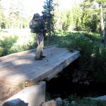
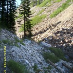
We finally got going again (we really wanted to reach Sierra City for breakfast tomorrow!) and enjoyed following the PCT as it wound through an unbelievably rocky, rugged, scenic, narrow canyon.  A bit more climbing, and from that point on, it’s downhill all the way to Sierra City.  A lot of rocky switchbacks took us down to the bridge over Milton Creek, where there was flat, dirt ground for camping, and a nice pool in the creek!  It had been a long, hot day, and we were both very sweaty, so we stopped there, set up a cowboy camp, and Bill went for a “swim” (he is brave–that water was freeeeezing!) ) and I slooshed off.  

Mr. Mountain Goat came by–we must have passed him somewhere.  He said he was going to camp soon, too.  When we got into our sleeping bags, it felt so good to be clean, and the creek was making a pleasant, quiet sound, not the whitewater roar of the High Sierra creeks.  I am a bit worried about the back of my right hip, though.  It hurts!  Motrin keeps the pain tolerable, but I don’t know why it hasn’t gone away.  Downhills are what gives me a problem–uphills are fine.  Coming down the switchbacks to our nice camp here by the creek, it started to hurt a fair amount.   All I can do is pray about it and keep going.  But what a great thought–“Sierra City for breakfast!” 

Walk to Rauros: Reach lowlands between the Downs and Emyn Muil
july21_1crossingjuly21_3vistagreenjuly21_4vistahillsjuly21_5forestjuly21_6hillsforestjuly21_7meadowjuly21_9meadowvistajuly21_10forestjuly21_12hillsjuly21_13trailviewjuly21_1interiorjuly21_2sunrisejuly21_3trailforestjuly21_4meadowjuly21_5viewjuly21_6viewrocksjuly21_7forestjuly21_8forestviewjuly21_9personcatjuly21_10peoplecatjuly21_11viewdark