Wednesday, August 18, 2010 Miles Today: 33.2 Total: 1,873.8
Wednesday, August 18th, 2010
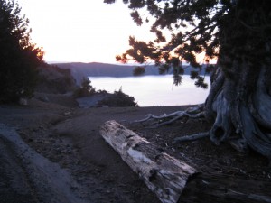
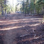
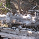
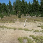
It was cold last night after the storm! But clear skies and a bright sunrise made it easy to pack up and walk back to the PCT from our forest camp. The wind was still blowing a bit, and it was still cold–brrr!—but so great to see blue sky. After getting one last photo of beautiful Crater Lake, we were back to heading north, down into an “Oregon desert” zone of pumice-y dirt and trees. No other plants grow there. Many of the trees have strange lumps and swellings on their trunks.
At the junction with the PCT equestrian trail, we met a sadly limping section hiker who is quitting because of blisters. He said his feet were raw. Bill advised that his shoes are probably too small. A little while later, we caught up with “Phooey”, who wasn’t even up yet! And we passed a southbound group of trail workers, all very earnest and wanting very much to be helpful. They even offered us water! Wow! But it still seemed like forever till we reached the highway, since it was basically Oregon desert hiking. There was more of the same after the highway, too, but that was a good thing–when we stopped for lunch, we could easily spread out all our damp gear for a “garage sale.”
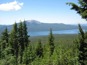
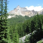
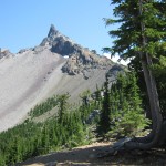
Shortly after that, the views began–stunning vistas of Diamond Lake and the many volcanic peaks in the area. All the peaks still had snow on them. We walked on, eager to reach Mt. Thielsen, a trail section we missed in 2005 because of snow. (That year, we took a lower-elevation route near Diamond Lake.) Mt. Thielsen did not disappoint us! Wow! The PCT climbs right up next to the peak–in fact the trail to the summit takes off right from the PCT, high on a shoulder of Mt. Thielsen. We spent a lot of time admiring its multi-colored knarly, twisted strata and extremely pointed top. It does indeed look like “The Lightning Rod of the Cascades.” From the summit trail junction, we could see two of the Three Sisters, and they looked pretty snowy. Hmmmm—we will be there soon. Hope we don’t get lost in the snow there again, as we did in 2005!
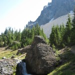
After that, it was down, and down some more to reach cascading Thielsen Creek, the first water in 26 dry miles! Several other hikers were there, too, and we all were tanking up on the fantastic cold, clear snowmelt water fresh off Mt. Thielsen. There were lots of nice campsites in the area, but it was far too early to stop for the day, so all of us basically collected water, rested a bit, and then hiked on.
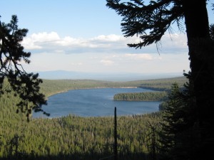
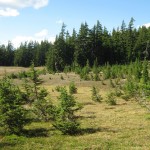
The PCT took us back into another forest walk on our very tired feet (getting used to new shoes that we got from our box at Mazama) before we once again found ourselves crossing dry meadows, following posts to mark the trail. At one point (not marked, unfortunately), we went over the highest point of the Oregon/Washington PCT. All around us were interesting, knarly, multicolored peaks, but none as amazing as Mt. Thielsen. We stopped for supper near the Maidu/Miller Lake junction, and enjoyed eating with a great view of the lake and boats.
Three more miles of hiking, and we decided to call it quits for the day. Our feet were definitely letting us know that they were still getting used to new shoes! Finding a flat campsite turned out to be impossible, so we had to settle for a sloped one on the mountainside, in the woods, with our usual buddies, the mosquitoes. I really enjoyed the hike around Mt. Thielsen today! Hopefully tomorrow we’ll make it to Shelter Cove.
Walk with Aragorn to Minas Tirith: On Ford of Isen road heading east toward Edoras
Tags: Crater Lake, mosquitoes, Mt. Thielsen, Oregon desert, Thielsen Creek

