Saturday, August 14 Hyatt Lake Resort 2010 Miles Today: 25 Total: 1,754
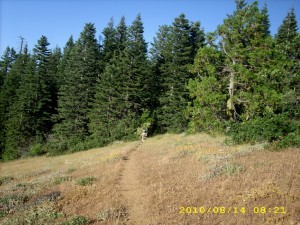
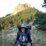
Saturday, August 14th, 2010Last night an owl hooted for a very long time. Was he/she lonely? It was a warm morning with clear skies, and we didn’t need our jackets for very long as we followed the windy, twisty, weedy PCT on its way around Pilot Rock. Last night Bill did some math and he is thinking about trying to make it to PCT “trail days” in Cascade Locks at the end of August. That means we have to average at least 30 miles day! I asked the Lord to put me on His “cruise control” to hike along quickly, but not so fast that my very bony body can’t handle it. I am feeling stronger every day– is it the Nutella? Or the extra food I’m carrying?
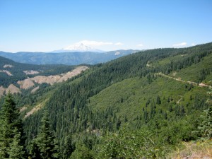
I was hoping to get a good pic of Mt. Shasta, but it was too hazy. Mt. McLoughlin to the north is completely gray–no snow on it that I can see. The biggest concern today was finding water– the sources are getting farther and farther apart. When we reached what the guidebook called “the fenced in spring”, there was water aplenty, and two section hikers who wanted to talk about BEARS! I’m sure there are bears here in Oregon, but we are not worried about them. We took on enough water to see us all the way to Hyatt Lake.
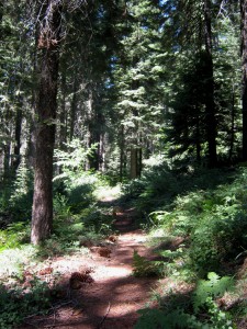
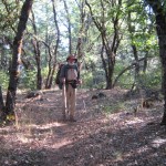
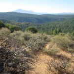
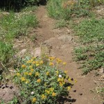
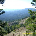
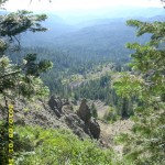
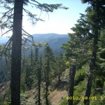
The guidebook writer doesn’t seem to like this section, and says that nobody would bother with it unless they were thruhiking. What a bunch of rot! The dayhikers sure don’t think so! This is very pretty trail–it’s like walking through a park. Sometimes you’re amid grass and trees, and sometimes you’re walking through a very green-carpeted Oregon forest. There are great views of Ashland and very blue Emigrant Lake, far below.
We reached Hwy. 66 well before lunch, which meant we were really moving fast this morning! There was another place along the way where we could have gotten some water, but when we reached it, there was a note warning that there were dead rats in the water collecting tank. Yikes! We were glad we’d taken on full water loads earlier!
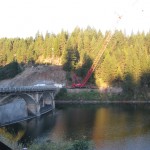
Then it was on to Little Hyatt Reservoir, which was very full and overflowing vigorously. Lots of very friendly people were hanging around. But we didn’t linger–we figured on lunch at Hyatt Lake! It wasn’t long before we were walking across the Lake dam and heading for the fisherman store on the other side. The resort restaurant was open, but all they had was pizza, beer and ice cream. I don’t know why, but I was just yearning for anything BUT those items. We asked the store guy if there was any other restaurant, and he said, “Sure, it’s just a quarter mile down the road. I’ll take you over there.” We hopped in his little golf cart thing and he gave us a ride.
Well, that was a pretty long quarter mile! Way longer, actually! We were flying along the road (the guy drove like a Jehu!) with tiny little Zoe the dachshund in the front seat, and when we arrived at the other restaurant, the store guy showed us where we could even go take showers! Back to the restaurant then, for great big sandwiches and glass after glass of lemonade. Once we were wellstuffed, we walked back to the “Bucks & Does” shower building to wash both ourselves and our socks. Then we sat around in the sun for awhile to give the socks a bit of drying time. I managed to yogi a ride for us back to Hyatt Lake proper, we picked up our resupply box and I started loading our food bags.
That’s when I discovered that the little store now has only chips, drinks, ice and bait. It used to have a lot more, which I’d counted on to finish off our food supplies. I sent Bill on a run for the hiker box to see what he could find. He came back with peanut butter. Well…I guess we’ll be on slightly short rations till the next resupply. We got ice cream cones at the restaurant and talked to some of the other thruhikers there, before strolling back to the PCT with a very nice young couple who were SOBO’s.
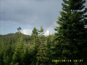
The PCT heads off through the forest, with glimpses of the lake, but meanwhile, the weather had turned a bit ominous. This morning’s pretty puffy white clouds had turned into thunderclouds, which started booming and muttering. During the rest of the afternoon, we were occasionally misted with rain, but that was good, because it was cooler, and we saw a double rainbow. Rainbows are awesome–every time I see one, I think about God’s promise to Noah, and just in general how God keeps His promises.
When it was time to make camp, the trail was up fairly high, and the clouds were growing darker. We figured that if there was a lightning storm, we definitely did NOT want to be up high. The Boy Scout leader we’d talked to when we were heading up into the Desert Divide back in southern California said that the safest place in a thunderstorm is 1) Not up high 2) Not down at the bottom 3) Not near a tree that has been previously hit by lightning, but 4) On the side of a hill, in the forest. So we headed down the hillside, into the woods, till we found a small flat place. We rigged the net tent for the mosquitoes and the tarp for rain, then crawled into our sleeping bags. The funny thing is, in 2005, it also rained on us by Hyatt Lake!
Walk with Aragorn to Isengard: On highway to Isengard

