Tuesday, August 24, 2010 Miles Today: 37.5 (27.5 actual + 10 fire closure) Total: 2,067
Tuesday, August 24th, 2010Today was a day of rocks, fire and God’s perfect timing. It was an experience I will not soon forget!
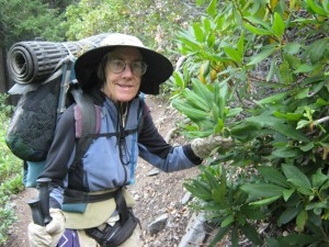
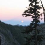
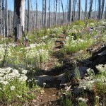
Early morning when we started out there was a beautiful “moonset” in the west— a golden round moon, clouds pink from sunrise, and the blue of early morning sky. Very gorgeous! And only a couple of minutes of walking took us to Shale Lakes, which are a pretty set of little lakes. The PCT began to climb up and up, headed for Jefferson Park. Along the way, hooray! We came to a whole lot of rhododendrons by the trail! No flowers, of course (wrong time of year) but rhododendrons mean we’re getting closer and closer to Mt. Hood and the OR/WA border! I cheered when I saw the rhodies!
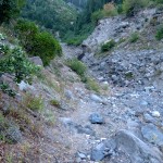
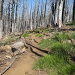
The trail was slow going, though. It was very rocky, and I could not hike fast for fear of tripping and falling. I managed to avoid doing that, but poor Bill did fall once, right off the trail. He ended up scratched and bruised, but no worse. Whew! I’ve seen people who just bop along a rough rocky trail, moving fast–wish I could do that, but I’d be on my face in no time! The slow going continued all morning and into the afternoon. “There’s no way we’re going to get 30 miles today,” I thought to myself, and was a bit bummed. All I could do was resign myself to doing the best I could.
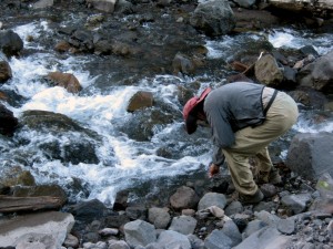
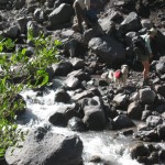
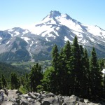
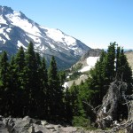
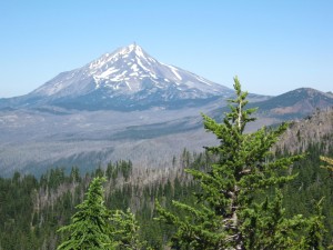
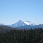
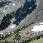
The scenery on this part of the PCT is great, though! We had grand views to the west, as well as glimpses of Mt. Jeff towering alongside us. I wondered how bad the crossings would be of the various snowmelt creeks coming down off Mt. Jeff, but we had no problems. At Milky Creek, Bill decided to stop and wash socks. I was wondering how it would be at notorious Russell Creek, but no problem there either–Russell was an easy rockhop. Several other backpackers (not thruhikers) were hanging out at Russell and they had a dog with them that barked and growled at us ferociously. Its owner promptly dragged it off the trail and made it sit down while we went by. Thankyou! Often we have to remind the owner to get control of their dog. This guy didn’t need any reminders.
We were looking forward to seeing Jefferson Park— one of the prettiest places on the whole PCT. But two things worried me.
One was a constant parade of helicopters overhead (never bodes well in the wilderness). The second was “Where are the hikers?” When we were here in 2005, the trail in and near Jefferson Park was a busy place. Today the only hikers we’d seen so far were the few at Russell Creek.
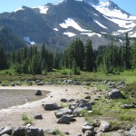
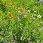
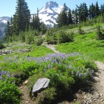
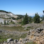
Finally we reached the unbelievable beauty of Jefferson Park. It’s hard to describe. It’s like you are right at the foot of snowy Mt. Jeff, among intensely green meadows full of wildflowers. Little sparkling lakes with sandy beaches are scattered here and there; pristine little snowmelt creeks are meandering through the grass. This is one of the most beautiful sections of the whole PCT, and we strolled along, stopping to admire everything.
But something was weird and different. I couldn’t figure out what it was at first, then suddenly I realized what it was. “Bill,” I said, “where is everybody?” We were the only people in the entire Park. Usually the place is swarming with dayhikers and backpackers. And it was a beautiful day, in August, prime hiking season. Very strange.
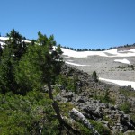
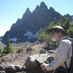
Shrugging our shoulders, we hiked on, tackling the big rocky climb up over the shoulder of Mt. Jeff. Our feet were very sore by the time we reached the top–I guess we older folks just don’t have as much fat padding on the bottoms of our feet! But the climb and rough trail were SO worth it! The views are gorgeous. At the top are a lot of tough little gnarly trees that somehow survive the rigors of life up here, as well as alpine wildflowers barely an inch or two high, but very pretty.
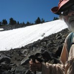
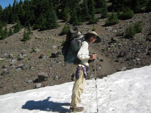
As we expected, the north side of the Mt. Jeff shoulder had plenty of snow! Most of the trail was completely covered over, but there are rock cairns to help hikers figure out the general direction to travel. So we started scrambling down the snowfields-interspersed-with-rocks. It was sort of High Sierras all over again. I even glissaded down one of the snowfields. But we continued to puzzle over “Where are the hikers?” We could not even see any footprints in the snow!
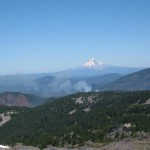
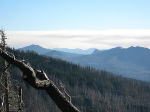
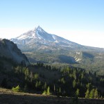
And now we had yet another concern. From up high on the shoulder, we’d had a great view of Mt. Hood (yeee-ha! ) but also a great view of FOUR separate narrow plumes of smoke in the vast forests down below. Were they burn piles? Hardly likely–this is wilderness area. Were they Forest Service controlled burns? Maybe. We got out our maps and decided that the PCT went inbetween a couple of the smoke plumes, so hopefully we were OK. Our stomachs were yelling for lunch, though, and it was very chilly and extremely windy, so we agreed to hike downhill enough to get out of the wind before stopping to eat.
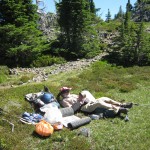
After getting through all the snowfields, we found a nice little sunny, windprotected hollow. That sun felt good! We cooked and ate lunch, then rested for a few minutes in the warmth before hoisting packs to finish the descent to Ollallie Lake. We were planning to get water at Breitenbush Creek, once we reached the road.
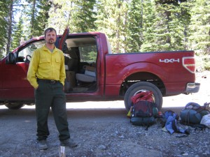
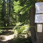
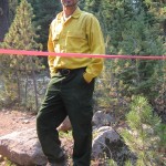
But then everything came to a screeching halt. At the road, a USFS guy in a red pickup truck was waiting. “Sorry folks, your trail is CLOSED.” Oh no! “But we’re running a shuttle for you hikers around the fire zone. Are there any more thruhikers coming in behind you?” Bill and I thought of Phooey, but we hadn’t seen him all day and had no idea where he was. We told the USFS guy, a Mr. Peterson, that we only knew of one, but he might be ahead of us. Peterson looked at his watch and said, “I’ll wait 45 more minutes, but then I’m taking you guys around the fire. By the way, would you like something to eat? ” Well, the fact that we’d eaten lunch not too long ago did not deter us from saying, “Sure! Whatcha got?”
Peterson gave us some US Army MRE’s that even heat themselves up. So we had meatloaf and mashed potatoes and other goodies while waiting the 45 minutes. Peterson told us that all the access roads and trailheads to Jefferson were closed because of the fires. No wonder nobody was at Jefferson Park! After the 45 minutes were up, there was no sign of Phooey, so we tossed our packs in the back of the red pickup and off we went, bouncing and jouncing on the very rocky road. “There is a short way back to the PCT,” Peterson told us. “But I can’t take you that way anymore–it’s closed by the fires. So I’ll have to take you the long way.” “How did the fires start?” we asked. “Lightning strikes?” “Yup. We had a storm a couple of days ago.”
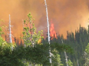
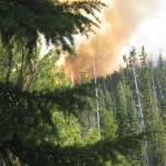
It turned out that Peterson was basically the “Chief Kahuna” of this whole USFS area, and it was on his authority that the hiker shuttles were running. THANKYOU, Mr. Peterson! The longer route we were following took us right close by to one of the fires, and it looked pretty scary–a lot worse than it had looked from up high on Mt. Jeff. Peterson stopped the truck and got out to have a look at it. “I don’t like this,” he said. “I’ve been bugging HQ that they ought to knock this one down instead of just letting it burn like that.” He started talking on his radio, apparently “bugging HQ” some more. “The best way I can describe what the fire looked like would be to say that there were a lot of tall trees on fire in such a way that they looked like torches. There was a lot of smoke, too. I mentioned this to Peterson, and he said, “Right. What you’re looking at is a “torch” fire. It’s nasty, but could be a lot worse.”
Suddenly, it was like the fire exploded! It started expanding like crazy, right in front of our eyes. Peterson leaped into the truck and grabbed his radio. “Get in! Quick!” he said. “It’s gone to a crown fire! You guys will be the LAST hikers to get through. Even the road isn’t safe now.” “But what will the other hikers behind us do, then?” I asked. “They will have to turn around and go back,” Peterson said, as he steered the jouncing truck down the rocky road. Clouds of smoke were billowing behind us, and orangered flames.
Bill and I were riding along and thinking, “Lord, we are in awe of your timing, AGAIN. If we’d reached Breitenbush Road even an hour after we did, we’d have had to turn back. Instead, we’re on the LAST hiker shuttle to get through. Thankyou, Lord, thankyou!”
Very soon, helicopters were flying overhead, carrying water to dump on the fire. Peterson stopped off every now and then to check on the closed roads, to make sure that not only were they closed, but that there was a USFS person there to enforce the closure. At one of them, the “guard” asked anxiously, “How long do I have to stay here? That fire is getting bad!” Sure enough, ashes were falling all around us. Peterson gave him some instructions about when to leave, and drove on. “I’ll take you as close to the PCT as I can, ” he said, and finally took us up one of the closed roads to a trail crossing near Jude Lake. We thanked him fervently for his efforts in fighting the bureauocracy and getting the hiker shuttle running, plus driving us all this long way round. “My pleasure,” he said. What an awesome guy!
Once we got back to the PCT, we made tracks north as fast as we could! Behind us was what looked like big gray clouds coming in, but it was SMOKE. We did not want to be anywhere near it! Fortunately, the trail was nice smooth dirt through the forest, and we could move fast. We reached Lemiti Meadows and kept going as quickly as we could till we were past Chinquapin Viewpoint. At sunset we stopped and cowboy camped on a saddle. It was a pleasant, breezy evening, with crickets singing. We were sorry to have missed 10 miles of PCT–10 very pretty miles, with lots of little lakes, plus of course, great big gorgeous Ollalie Lake. But oh, are we grateful to God for His perfect timing!
Walk with Aragorn to Minas Tirith: Reach the northeasterly lands of Morthond

