Sunday, May 16 – Miles Today 10.5 PCT 15.4 Detour – Total Miles 364.6
Sunday, May 16th, 2010
Wow, what a day! Over 26 miles of hiking, and 95% of it uphill, since the trail had to climb from 3,000 feet to 8,000 feet in elevation.
We were up at 5:45, and took our one leftover trail breakfast down to the Best Western “breakfast room”, which opened at 6:00am. All the thruhikers were there! We scarfed up our trail breakfast, plus everything else Best Western had to offer, while talking with the other hikers. The hot topic was the big detour ahead of us— maps were being spread out on tables and opinions of various sorts were “fervently discussed.” And there was a fair amount of grumping about “The detour is gonna be ugly…yuck, a powerline walk!”
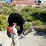
We figured, “Whatever, let’s go!”, shouldered our packs and headed back to the PCT, stopping off at Subway to get sandwiches for lunch. The trail takes you through a dark tunnel under the freeway, then into a very green “jungle zone”, and finally up onto the hillsides where the views begin! To my great delight, just as we were about to go under the railroad tracks, a train came by!
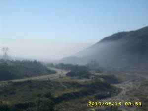
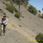
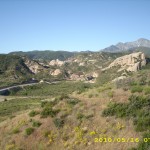
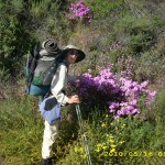
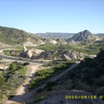
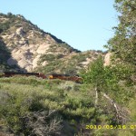
The PCT climbs up and up, with great views of the railroad (did I mention I love railroads??) and also views of the thick smog (or was it smoke? Not sure) of Los Angeles. It wasn’t long till we came to the officially closed section of the PCT, and turned to follow the detour route, which was a dirt powerline road. Up and up we went. The wildflowers were gorgeous. At the top of the climb we could see a green oasis a little bit below, and that’s where the detour went–to Applewhite Campground. We got water there and enjoyed talking to one of the park staff about the detour. He said all the locals think the PCT route is perfectly safe and sending all the hikers on a 15 mile detour is totally dumb. He also told us he was in the campground on the afternoon when the fire started, and it was very, very scary. Had the wind been blowing the other way, the whole little Applewhite Valley community would have been trapped. I am glad the wind went the other way! I enjoyed the brief stop among green trees and grass and creek!
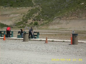
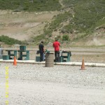
Bill and I hiked on up Lytle Canyon Road, past several cute old wood cabins and houses, till we found ourselves walking up a long, long valley with snowy mountains waiting at the end. But best of all, just before noon, we reached “The Firing Line,” a big shooting range out in the middle of nowhere.
We bought cold drinks and got permission to watch all the goings on. There were 4 ranges, each different, and all ages of folk, with all sorts of guns, and all levels of shooting ability, from “Wow, he’s good!” to pretty pathetic. Very cool. (Actually, we could HEAR “The Firing Line” long before we could SEE it–sounded like a Civil War battle re-enactment.)
Note from Alexa: How uncivilized, they ought to be using longbows
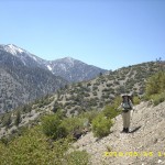
A long climb up a rocky road and then a switchbacking trail took us back to the PCT, which promptly began its usual “scratch across the side of a mountain” pattern. (I still say we shouldn’t call it the Pacific CREST Trail. To be accurate, it should be called the Pacific SIDE-OF-THE-MOUNTAIN trail. ) Up ahead on a saddle, we spotted a whole group of people and two parked cars. “Search and rescue operation?” was our first thought. Well, sort of…it turned out to be a search and rescue PRACTICE. Also in the crowd were a bunch of PCT thruhikers, discussing where to camp tonight. The final decision was for Guffy Campground.
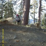
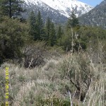
Bill and I kept on going, with our usual plan of “We camp at the first flat place we find when the sun starts going down.” I thought it was maybe another 5 miles or so to Guffy. The PCT climbed higher and higher. I was really tired at this point, and pretty soon the group we’d passed back at the saddle caught up with us. To add to the fun, the PCT soon became an obstacle course of snowdrifts to climb over, while the wind blew stronger and colder. Finally the snowdrifts became so annoying that we shifted to walking parallel to the trail along a road (we did this in 2005 as well).
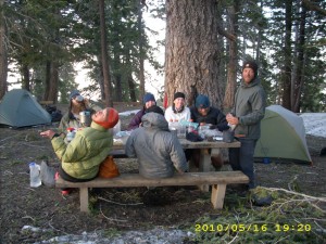
Along the way we caught up again to the group that had passed us. They’d stopped to wait for a missing member who’d been lagging behind. All of them were very worried. We were no help, since we hadn’t seen him either. A final stiff climb took us to Guffy Campground (turned out it was 8 miles, not 5 as I’d thought). Snowdrifts were everywhere, the wind was fierce, and it was very cold. Our first concern was getting water, but we couldn’t find the trail down to the spring till we spotted a guy coming UP it. Whew! Bill and another of the young guys headed down to get water while I hunkered down out of the wind as best I could. When Bill got back, I cooked dinner in the lee of the bathroom before we hunted around, found a little sheltered hollow and prepared for a cold night. This is the first time we’ve ever had to camp near other hikers, but we were too tired to go on. It sure is nice to be back in the forest again, though! Baden-Powell tomorrow!
Walk to Rivendell: Steep lands of the Trollshaws & ancient realm of Arnor
Tags: Applewhite Campground, Guffy Campground, The Firing Line

