Sunday, May 2 – Miles Today 25.2 (+2) – Total Miles 172.9
Sunday, May 2nd, 2010
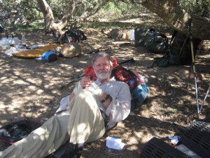
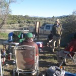
Today was a long day (5:00am until 8:00pm) of great contrasts (and some danger), but it began with a fabulous surprise. We were up in the dark at 5:00 am, with temperature 39 degrees, and headed off as the PCT continued a constant climb, contouring around hill after hill. We were starting to get very hungry, and were talking about how it was too cold to stop for breakfast unless we could find a sunpatch, when the PCT turned and headed down into a little valley. Suddenly we could see the highway, a sunny field, and what looked like a thruhiker encampment!
Well, it turned out to be “Doc’s Place Oasis”— Doc was there to greet us with hot coffee and bean and egg burritos. We scarfed them up, PLUS our trail breakfast, and I said out loud, “OK, that does it! This is NOT a thruhike. It is a Hobbit walking party, with food at every road crossing!” As it turned out, “Doc” really IS a doctor–a podiatrist, in fact, and besides feeding hikers, he was also working on their FEET. We watched in awe as he worked on one hiker’s horrible blisters, and were grateful that so far, our “carry weight while training for the PCT” plan has worked. Neither Bill nor I have even a sign of a blister. Doc also was fixing hikers’ shoes–people who chose to wear cheap, lightweight “roadrunning” shoes are finding that after only 160 miles or so, their shoes are being shredded by the rough, rocky, Southern California PCT. I am so glad I have TRAIL running shoes with a forefoot plate and other “rock protection.”
It was really hard to leave Doc’s place–we were having so much fun talking to everybody– but we knew that mega-tough trail lay ahead, and maybe even some danger, so we finally dragged ourselves away, crossed the highway, and headed off into the San Jacintos!
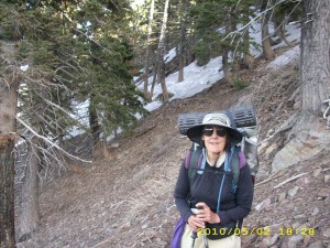
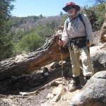
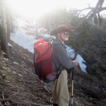
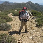
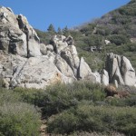
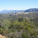
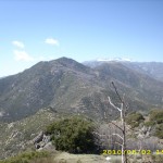
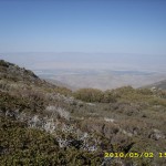
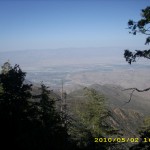
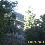
As the PCT goes up and up into the Desert Divide San Jacinto mountains, it goes past awesome rocks and increasingly awesome views. The trail was not bad at first, and it was a nice cool day. Gradually the climb grew steeper, and then we began to encounter more and more “blowdowns”–fallen trees lying across the trail that we had to either climb over or go around. When we took our 9:30 am Snickers Break, “Scout” stopped and joined us. (He’s a genuine Boy Scout leader!) What a great guy! The boys in his troop are lucky kids, but they’ll have to manage without him this summer as he thruhikes the PCT!
Our morning “water plan” was to have Bill make a run down to Cedar Springs, but it took us till after 12 noon to reach the springs trail, so we decided to use up all our remaining water at lunch, then refill everything at the springs. So after we’d eaten our freezedried lasagna and veges (very good, but very messy), Bill headed down the 1-mile trail to get water, while I did “housekeeping”–washed up all the dishes, and aired our gear. Scout came along and stopped to chat, and that’s when I found out that he was actually IN the terrible Sierra storm of August 2005, which was really scary for Bill and I, and resulted in the death of three boys. Scout said that the troop had been following all the rules for what to do in a severe thunderstorm, but it turned out that the rules were not adequate for the situation. Since then, the Boy Scouts have revised their “severe storm safety” plan.
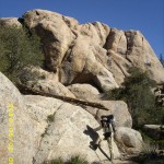
Various dayhikers passed by (it was Sunday, and a nice day to hike) before poor Bill finally returned, completely tired out and saying “Never again! That spring is too far down the hill!” Several tough climbs after that, switchbacking up (and seeing some snow patches!!) we reached Fobes’ Saddle, where there were thruhikers taking a break and watching the rockclimbers who were “doing their thing” nearby. Three more killer uphill miles, and we were on the saddle above Apache Spring, where we stopped for some crackers and peanut butter, then pushed on for what we thought would be 1 more hour of hiking.
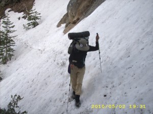
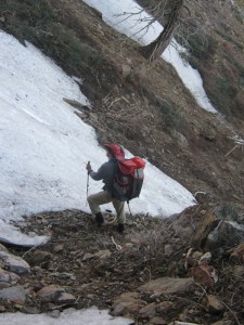
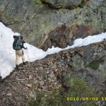
Nope— make that 2 more hours of scaaary! We’d only been hiking for 15 minutes when we hit our first serious obstacle–the famous “300 yards of icy snow” on a very steep mountainside, with a “run-out” a hundred feet or so down. Bill tried a few steps out onto it (following the footprints of other hikers), but even he immediately turned back and said, “No way! We can’t do this–it’s rock-hard-icy!” So we opted to slip, slide and scramble around below it (scary in itself on a steep mountainside), and a thorny plant tore a big hole in my pants when I slipped and fell.
Note from Alexa: Sounds like the section when Frodo & Sam were in Mordor with those nasty dropoffs and razor thorned plants.
We finally made it around the snowfield and back up to the PCT, vowing, “The next campsite we come to, we will take!” Well, there weren’t any campsites–just endless steep hillsides and very scary trail that was often just a scratch on the mountainside, with a big dropoff below. One icy snowpatch after another blocked our way. Most did have footsteps across them. Bill would go first, and I followed behind, scared stiff, because a slip would have meant at the least, a serious injury.
The sun went down as we picked our way along, but it was still light enough to see, and we finally made it to the top of the ridge and the cozy campsite where we’d stopped in 2005–only oh bother, it was already occupied by another pair of hikers! But we knew there were more camping possibilities ahead, and it was just starting to get dark when we found a tiny flat place, squeezed between the boulders, threw down our sleeping bags and collapsed.
It’s a cool, quiet night tonight at elevation 7,200 feet. I was happily surprised when I figured our mileage –I didn’t think we’d done very well, but 25 miles (plus two more for Bill) is not bad! I am very grateful to think of the people who are praying for us. Tomorrow we face an even bigger “snow challenge” plus the “fearsome” Fuller Ridge.
Walk to Rivendell: Midgewater Marshes
Tags: Apache Spring, Cedar Springs, Desert Divide, Doc's Place Oasis, Fobes' Saddle

