Thursday, May 12 Last Dance With the Gila
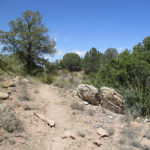
May 12th, 2016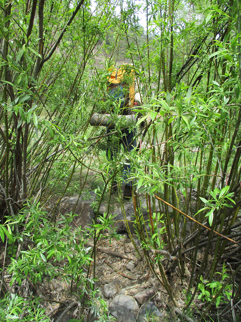 SUMMARY: We tiptoed past the horse packer camp at 6:00 am, but the dogs spotted us and set up a ruckus! Our goal was to hike down to the Middle Fork of the Gila River, then take an alternate route to Snow Lake. But we decided to do one last dance with the Gila–it really is pretty there, and it was only 7 miles, so it was back to lots of river crossings, hunting for trail, crossing debris, and admiring the dramatic beauty of the canyon. We reached Snow Lake, hung out for awhile with “Hippy Longstocking”, and headed out on the next leg of our adventure–a crosscountry (no official trail) run up a canyon and into the hills beyond. But we missed a turn somehow and are camped tonight somewhere…not sure exactly. Hopefully we’ll relocate the trail tomorrow!
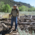
DETAILS: We did our best to tiptoe past the horse packer camp at 6:00am, but the dogs spotted us and set up a ruckus! Then we spotted a couple of the wrangler “students” already up, chopping wood and building a fire. They gave us a wave, and we headed back to the trail. Our goal was to hike down to the Middle Fork of the Gila River, take another trail up the other side of the canyon, then roadwalk to Snow Lake.
We’d stopped at the Gila to AquaMira some water, when along came 2 more guys who were part of the Prior Cabin group. One of them was limping badly–turned out that he slipped on one of their Gila River crossings and really hurt his ankle. They stopped to talk, and told us about the route we were planning to take. “It’s quite a climb up from here to the road,” they said. “We know, because our car is parked up there. And distance-wise, it’s the same as staying with the river.” Fixit and I thought about it and decided, “The river route is flat–no big climb; it has water; it’s pretty. Let’s do one last dance with the Gila. It’s only 7 miles.”
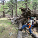
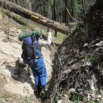
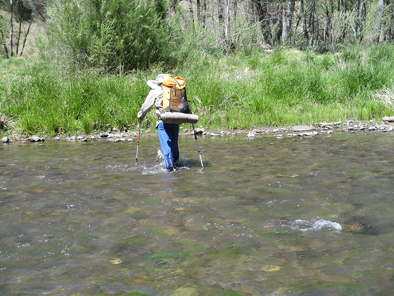
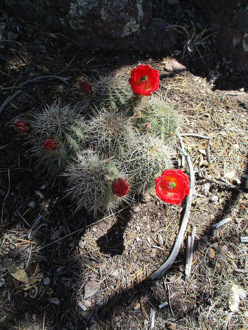
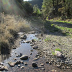
So it was back to lots of river crossings, hunting for trail, crossing debris, and admiring the dramatic beauty of the canyon walls and the shimmering green shade of the trees. Halfway or so along, we met another hiker, Hippy Longstocking, who was waiting for her boyfriend. “Have you seen him?” she asked. No, we hadn’t. “Well, I stopped here to warn him about which way to go,” she cautioned. “You have to be really careful. Can you see the river there?” We said we could, no problem, and pointed to it. “That’s NOT the Gila,” she said. “It’s Iron Creek. The REAL Gila is sneaking off into those willows. Lots of hikers get messed up here–they follow the creek instead of the river.” Fixit and I inwardly groaned. We knew from experience what that was like! I thought to myself, “AGAIN God puts just the right person in our path to help us know where to go. Thank you!”
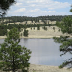
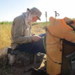
We took care to CROSS Iron Creek, and follow the Gila as it went sneaking along, till finally we could see the Snow Creek Dam up ahead. When we reached the campground, we all (Hippy L. had caught up with us) more or less collapsed. “Tired” does not even begin to describe how we felt. Finally we recovered enough to load up on water for the next leg of the hike (no water for a long way). Hippy was still waiting for her boyfriend, and worrying about whether he was OK. But the delay was just what I needed, because I discovered we were missing a couple of key maps for the trail up ahead. Hippy (like all the younger hikers) uses Guthook on her cellphone, but she did have paper maps as a backup, so I was able to take pictures of the maps we were missing. Again, I do NOT think this was a coincidence. Many younger hikers do not carry paper maps, but she did. I said a silent, “Thank you, Lord, for sending Hippy to help us out AGAIN!”
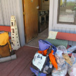
Just then, her boyfriend finally arrived, and we discovered why he was so slow–he was loaded down with a huge pile of “hiker debris” he’d found lying along the trail. He had an air mattress, a sleeping bag, a tent, and more. Fixit and I had seen the stuff he picked up, but we walked by it. We’d even stepped over a camera lying in a mudhole. Amazing what the hikers have lost/abandoned.
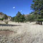
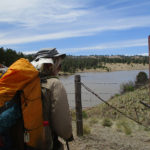
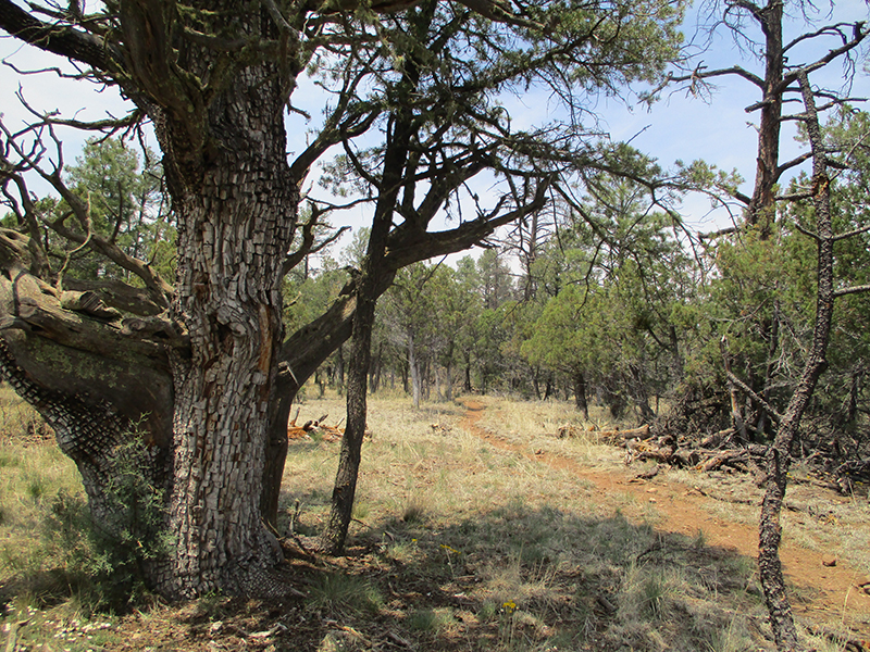
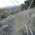
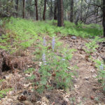
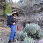
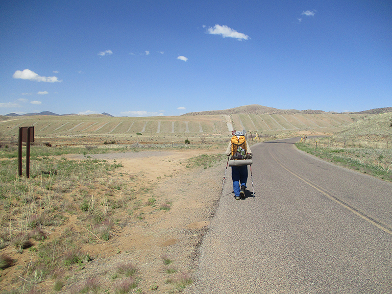
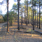
But it was time to get going. Up the road we walked, into a very different sort of country–rolling, grassy hills, hardly any trees, and no water. By keeping a sharp eye out, we found the CDT turnoff, only it turned out to be a route, not a trail, which followed a grassy canyon as it twisted and turned. Because there was no trail, we missed a key turn, and found ourselves up in a vast rolling grassland with no clue or hint of where the CDT was, and the sun going down. So we set up our tent (no cowboy camp after our experience of being “frozen” a few nights ago) and before I went to sleep, I studied the maps very carefully. I think that maybe…just maybe…I know where we are now. Will find out tomorrow!
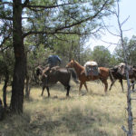
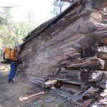
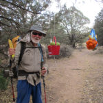
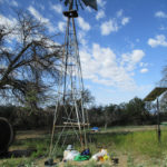
 SUMMARY: We slept very well in our cowboy camp last night, but woke up to temperatures below freezing, our shoes frozen solid, and frost all over our sleeping bags. So we wrapped the frozen shoes in plastic and took them into our sleeping bags till they thawed out enough to put on. Then it was bushwhacking and river crossings till we found the trail, and for the whole rest of the day it was like God sent one person after another, out in the middle of nowhere, to assure us (well, more accurately, to assure ME–Fixit says he enjoys the challenge of not knowing where we are!!) about which way to go on our alternate route. Tonight we are camped in a horse camp with a bunch of packers & wranglers.
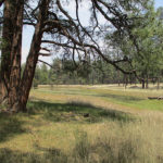
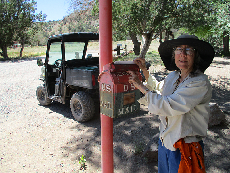 SUMMARY: We spent the morning still following the Gila River as it winds and twists its way along through impressive rock walls. Sometimes we were on nice trail, and sometimes we had to bushwhack, but we reached Doc Campbell’s Trading Post just in time for lunch, including their famous ice cream. Then it was “sort the food” and even more important, try to figure out another hiking route. We do NOT want to deal with the Gila anymore!!!!! It was absolutely agonizing trying to figure things out from our maps (which are not set up for an alternate route) and I was almost in despair until “Becky the Horse Lady” drove in with a trailerfull of horses. She showed me exactly what to do, and I was able to mark it on our maps. By 4:00 pm we were on our way–sure hope Becky’s ideas will work!!
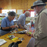
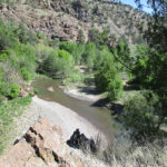
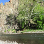
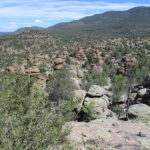
 SUMMARY: We thought we’d be having a Gila River Trail adventure today, but we made a huge mistake and ended up going up the Sapillo Creek canyon instead. It’s way prettier than the Gila River canyon, but it led us deeper and deeper into the wilderness–the canyon got so narrow we had to wade it in (for me) shoulder-deep water. We finally got to the point where there was NO way to go on, realized what we had done (groan!) and retraced our steps all the way back till we reached actual Gila River. The “trail” turned out to be very hard to find–we did lots of bushwhacking and river crossings–some were a wee bit scary. We are camped in the canyon tonight. Glad to be safe!
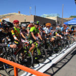
 SUMMARY: Our day began with a 3 1/2 hour walk to breakfast in Silver City, and we arrived just in time to watch the start of the 4th dayof the Tour de Gila bike races. Today the riders were doing 20 laps of a 1-mile loop through downtown Silver City. We got a window seat at the Silver City Cafe and watched the Masters bikers go flashing by. (The “elites” race in the afternoon). Then it was grocery shopping (food for 3 days), then off to the RV park for showers and laundry, a visit to Pizza Hut, and we were back on the trail through a beautiful forest. It’s now a quiet night–no wind, just a few coyote songs in the distance.
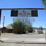
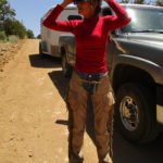
 SUMMARY: Today began with beauty and ended with frustration. We had a wonderful time doing “peak bagging” this morning in the clear, fresh mountain air. Views, too! Wow, we were up high! But just before 10 am, things went wrong. We reached Tyrone Road, where the map said we were supposed to turn right and walk into Silver City. But there was a big CDT sign that said to keep going. We were puzzled, but we did follow the sign. Miles and miles later, we finally said “phooey” and took the next road we came to, down the hill, getting water and directions from various people, met another CDT hiker in the same predicament, and tonight we are camped by the highway. Silver City tomorrow!
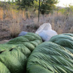

 SUMMARY: We spetn the morning in Lordsburg, first having breakfast with all the other hikers–hey, we “hikertrash” are a great bunch! After checkout, we walked down to El Charro again–had lunch, and then the adventure began. Somehow we missed the turnoff for the CDT–when we realized that, we said, “No problem–Plan B–we’ll just go the Ley alternate.” Afer 6 1/2 miles, we reached it (a pipeline road) only to discover a large locked gate and very emphatic “no trespassing” signs. So–plan C–we walked on, found a gate we could climb over and headed out on a cros-country bushwhack adventure, which included seeing some javelinas! Tonight we are close to being reunited with the CDT!

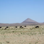
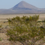
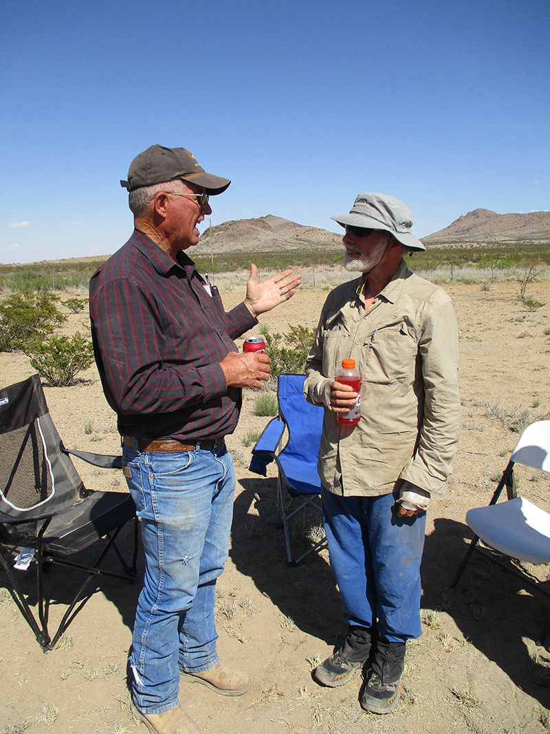 SUMMARY: We started hiking at 6:20 am today and finished at 6:45 pm in Lordsburg. Lots of miles! Basically we spent the morning in very bare desert on the approach to Pyramid Peak, and the afternoon we spent circling around its base. To our amazement, there was trail magic at the lst water cache, and we got to meet the rancher who owns all the cow critters around the Peak. After that, it was one final walk, and we were back in Lordsburg.