Wednesday, May 19 – Miles Today PCT 4 Detour 25 – Total Miles 440.2
Wednesday, May 19th, 2010
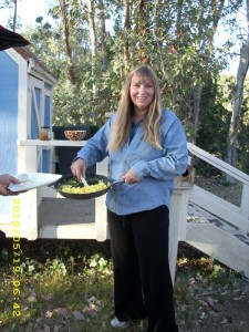
Today began with one of the other hikers announcing, “Ladies and Gentlemen, rise and shine! It’s 5:45am and the bus leaves at 6:30!” (We’d all promised Dr. Gay we’d be ready to go at 6:30). But at 6:15, here she came with a huge skillet of hot scrambled eggs “My hens are laying so much, we can’t keep up with them— eat, eat!” she said! So we lost no time taking care of those eggs, along with some salsa and tapenade. What a breakfast!
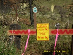
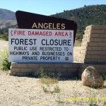
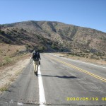
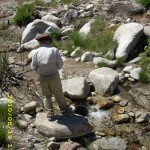
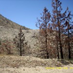
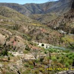
Dr. Gay dropped us and Transient off at the “trail” (the rest of the hikers got dropped off in town) and soon we were roadwalking into the burn zone of the huge “Station Fire” that had closed the PCT. It was sad. In many places, the fire was so intense that it turned even the dirt into ash. The morning grew hotter and hotter. We took our midmorning Snickers break in the shade of a tree, and just after that, a sign warned us to stay on the road.
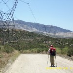
Eventually we reached Aliso Creek road. Hooray, not much longer and we’d reach the powerline road that would take us back to the PCT. But a dayhiker we met warned us that just yesterday, the USFS rescinded its permission to use that route. “But it’s not posted as closed” he reassured us. Yikes! We hiked on as fast as we could, and sure enough, there were no “closed” signs. “Quick, let’s get on it before any rangers can stop us!” we cheered.
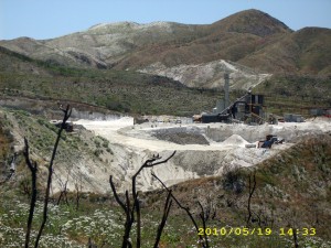
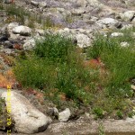
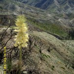
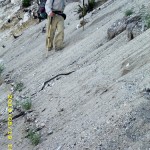
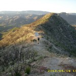
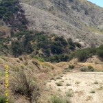
As it turned out, that “closed route” was a busy road to a mine as well as the powerlines— dirtbikes passed us, and mining trucks. Eventually we reached the mine and after that things were a lot quieter— no more traffic. We were very saddened, though, by the destructiveness of the fire. It must have been incredibly hot–in many places, even the DIRT was scorched and ashed. Only a few plants were starting to grow. It was a very hot afternoon, and the final tough climb to the summit just about did me in. I actually had to stop and lie down under one of the few trees that had survived the fire before I could continue on. But finally we made it to the North Fork ranger station, which was on the edge of the fire zone. We’d already been warned that there was no water available there, since there was no electricity for pumps.
But surprise, surprise, there were three PCT hikers at North Fork! They were also exhausted by the heat and the climb, so had decided to stop and camp. We only spoke with them briefly, then headed on, back to the PCT— but what a sad sight. The trail was a mess from the fire, sometimes sliding down the hill, sometimes so overgrown with “post-fire type” weeds that it was hard to follow. We found out later that it was a good thing we’d left North Fork quickly. Apparently just after we disappeared down the trail, the ranger came boiling out of his office (he’d spotted us talking to the other 3) with a plan of chewing us out for hiking on a closed trail. Glad we missed him!
Our goal was to camp at Mattox Creek, but the going was so tough that we didn’t make it. At 8:00 pm, we spotted a little sandy gully that was ash and cinder-free and decided to camp there. It was a very comfortable camp! Bats danced overhead as it grew dark (eating mosquitoes, I think–there were plenty of those!). Bill and I wiped the sweat and dirt off ourselves as best we could with our limited water supply before getting into our sleeping bags. The sand was a very comfortable mattress, and we were really tired, but figured “Tomorrow we’ll be in Agua Dulce!”
Walk to Rivendell: Road bending down, camped near small stream with newcomer Glorfindel.
Tags: Aliso Creek, Station Fire

